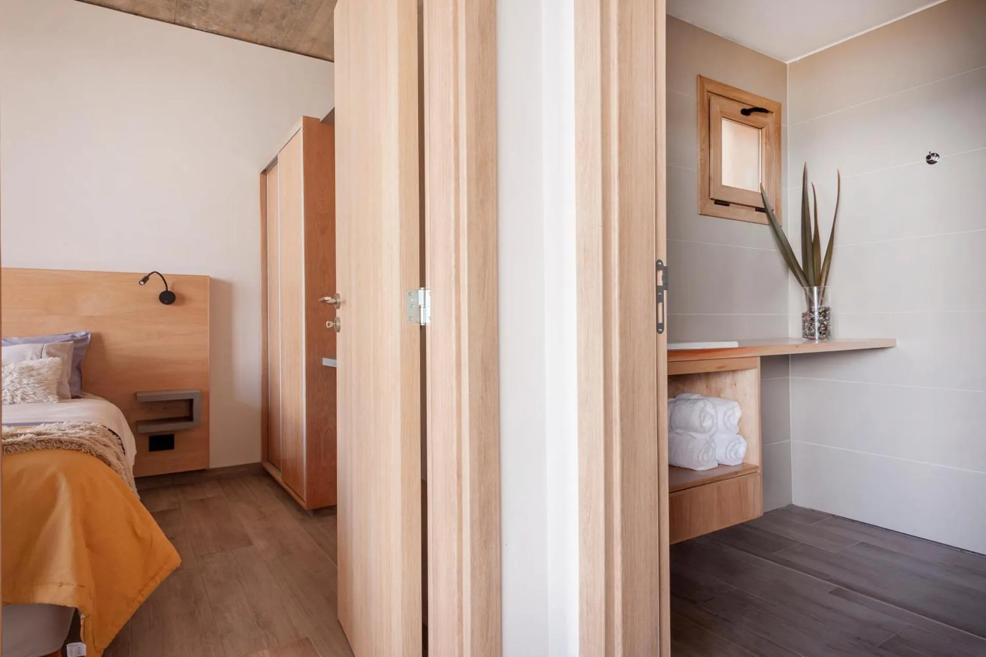
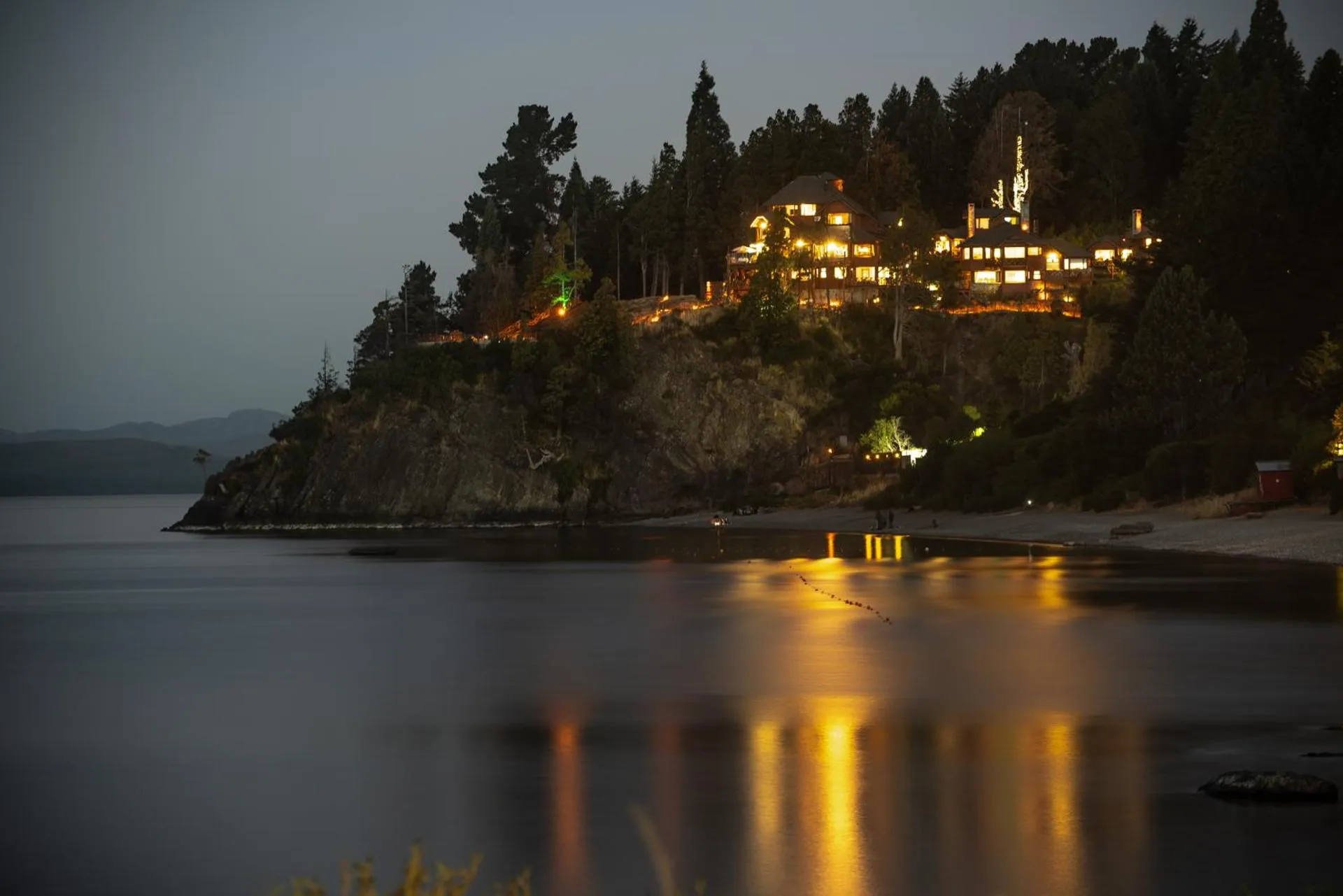
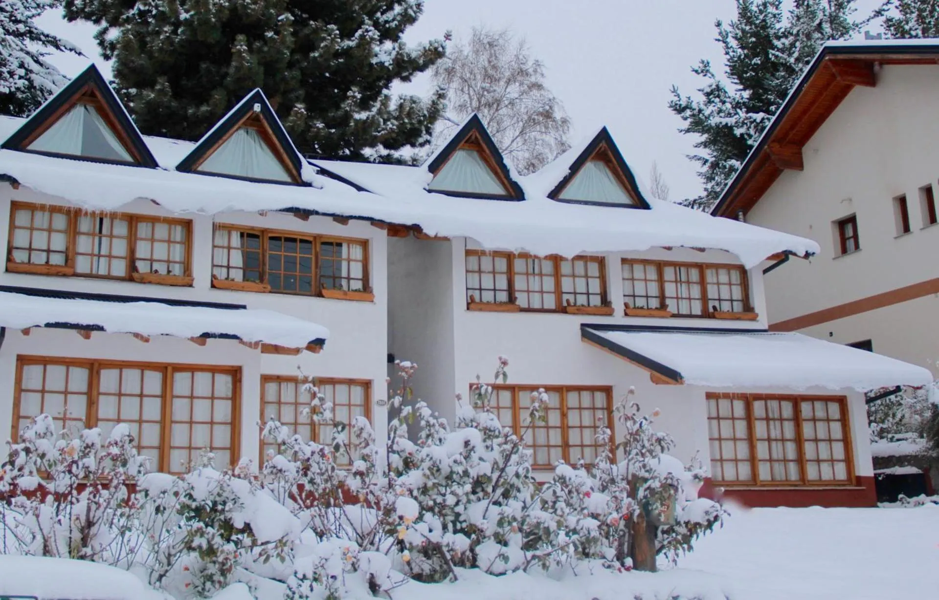
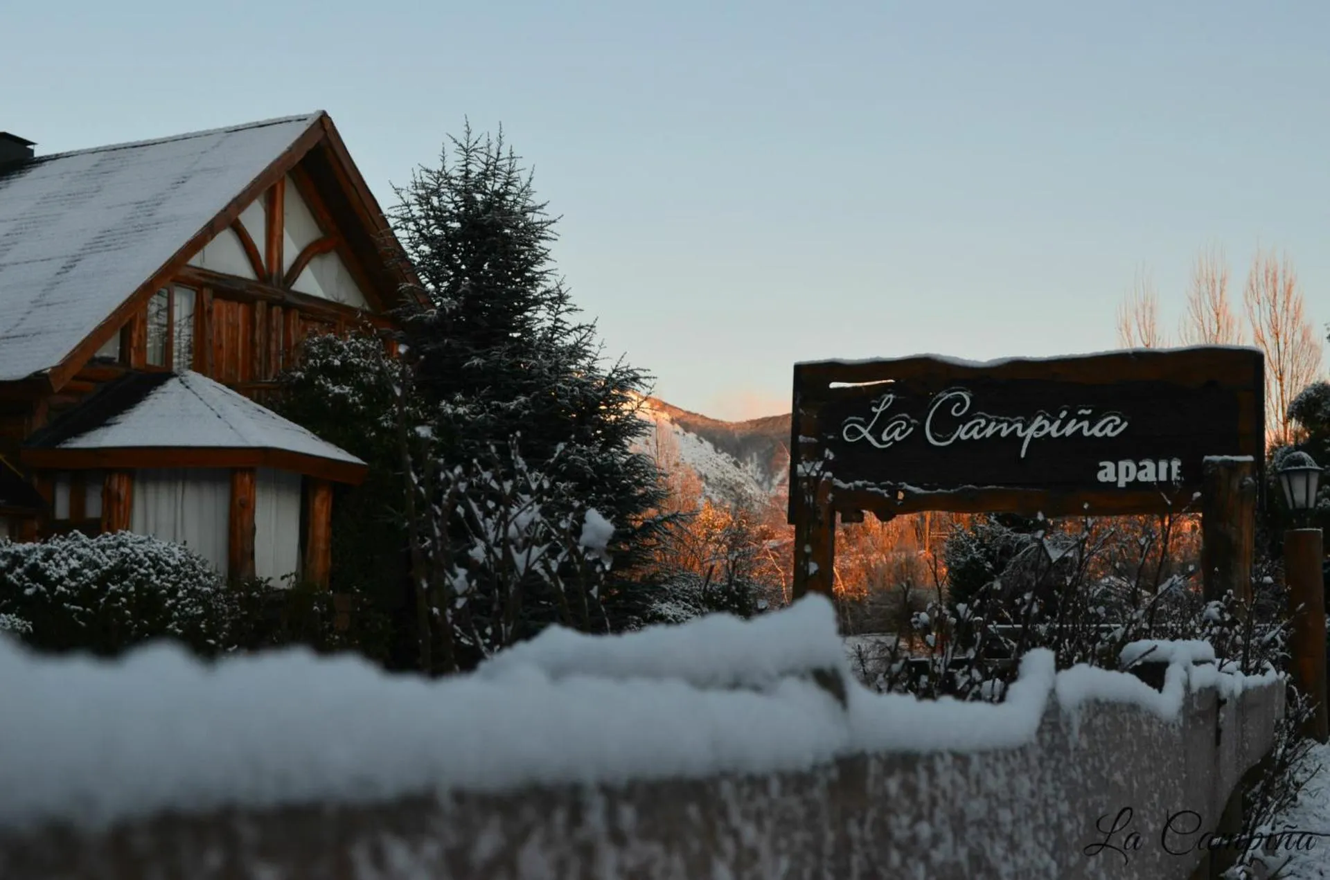
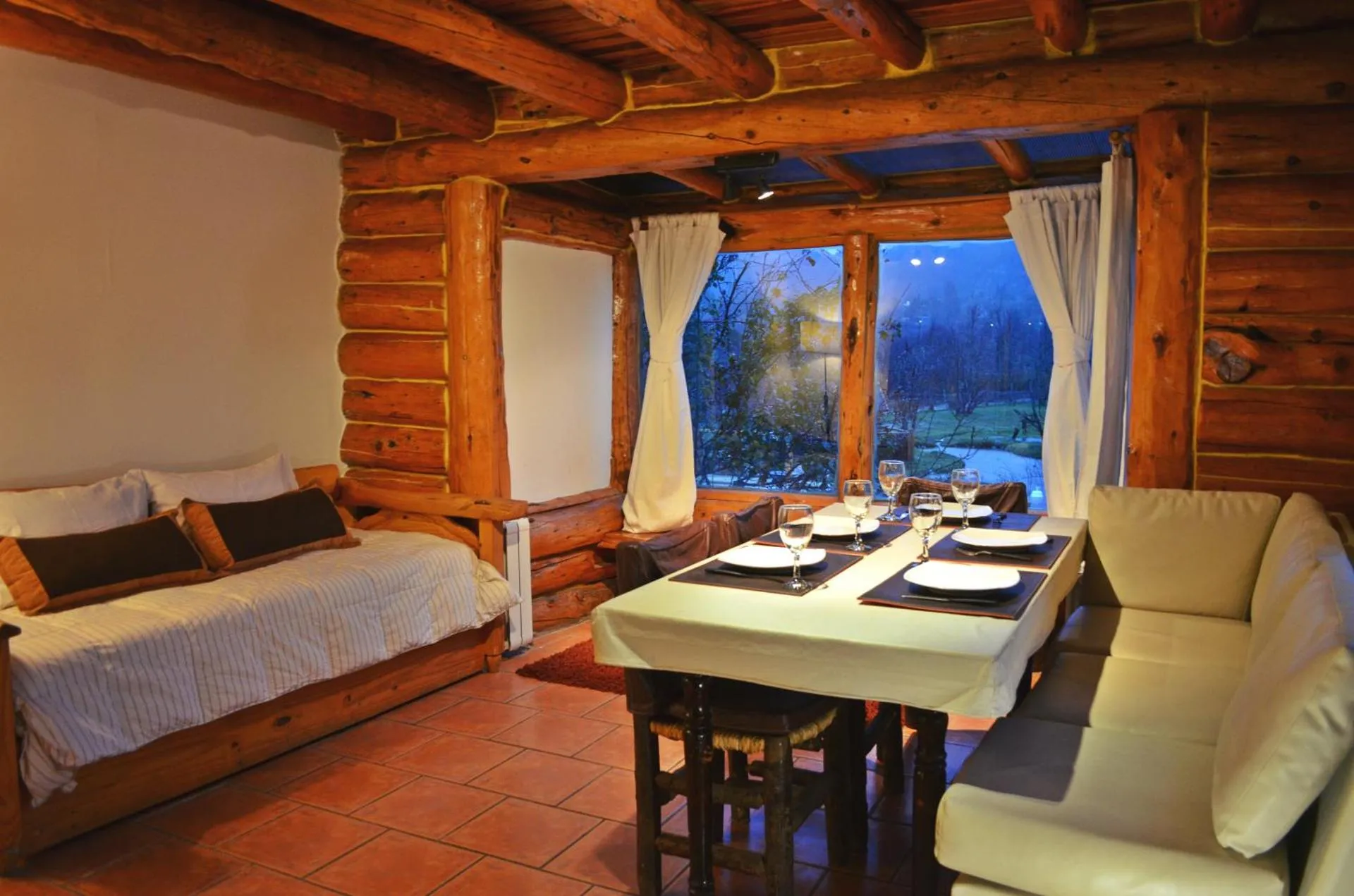
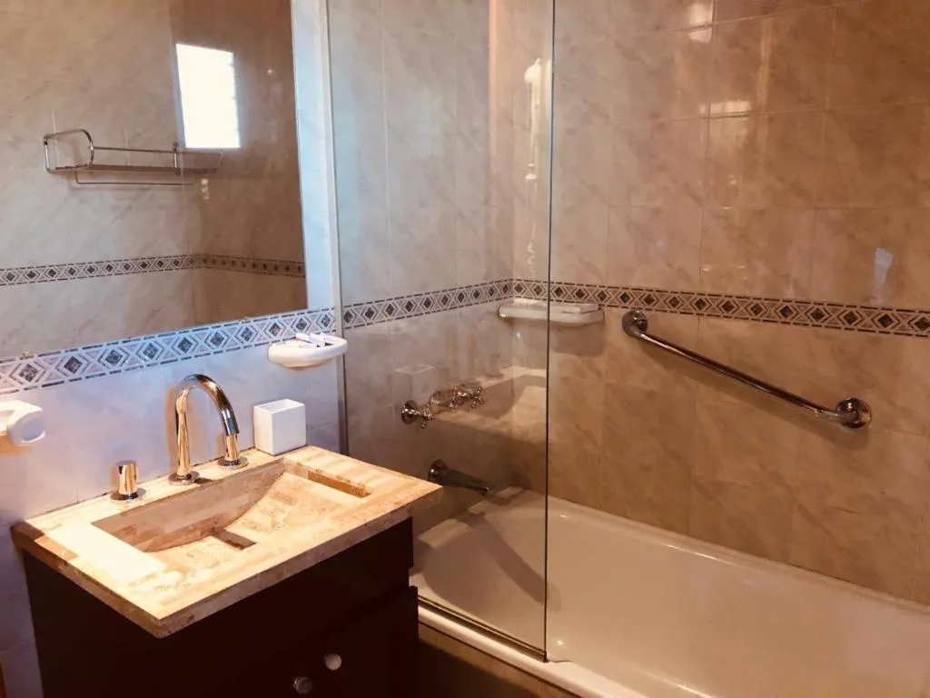
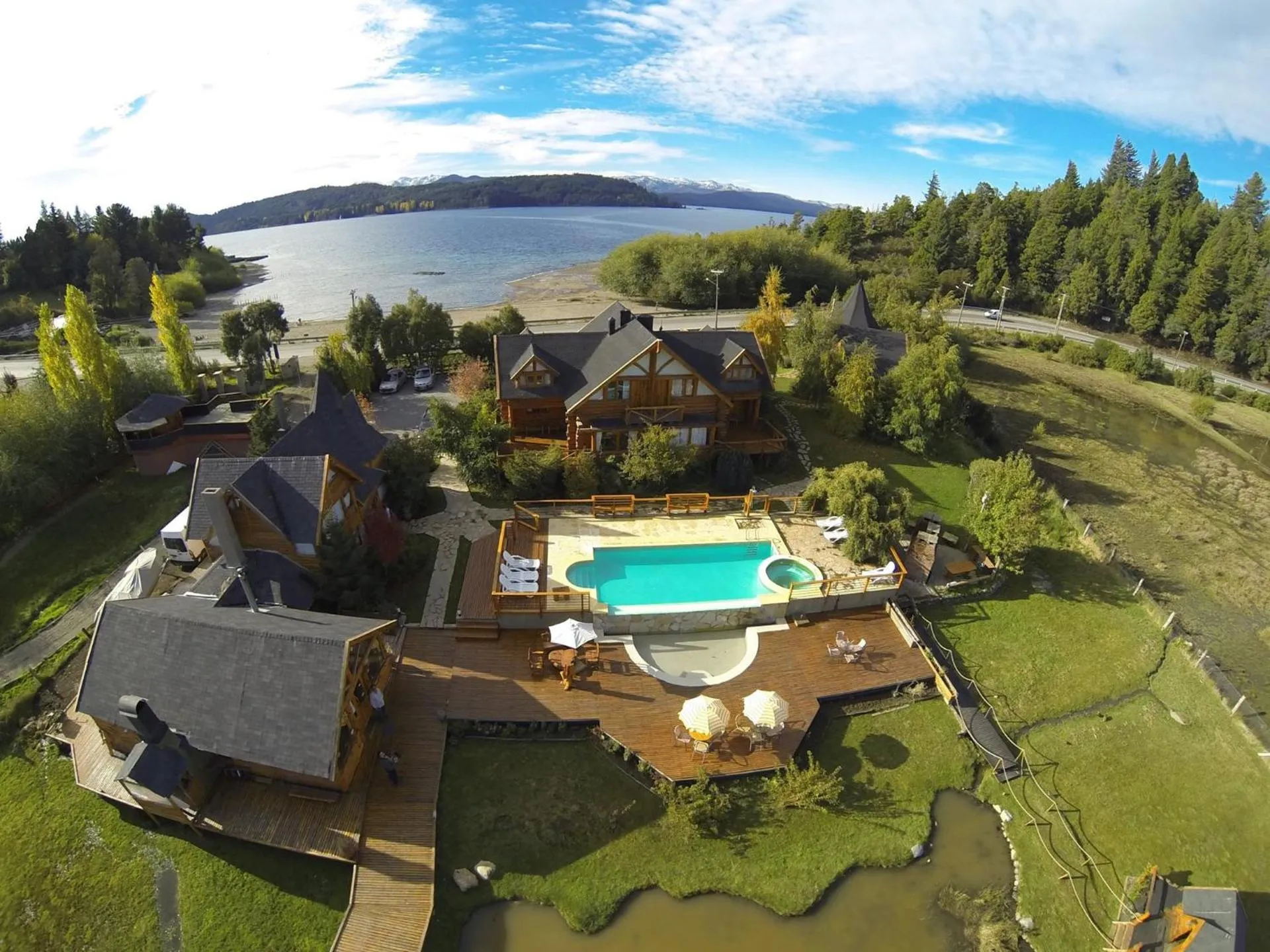
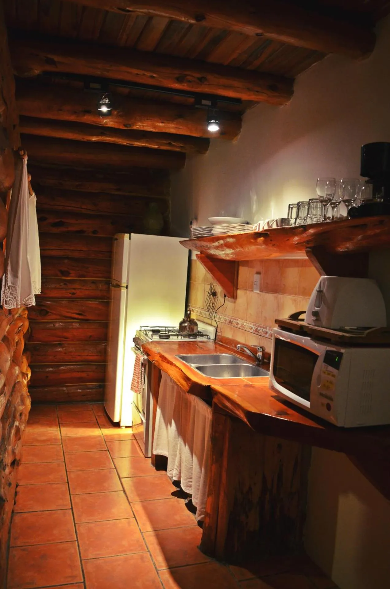
La Campiña
The La Campiña Has Not Been Certified As Dog Friendly
Nearby Dog Friendly Trails
From the Casa de Piedra neighborhood, located at km 13 of Avenida Bustillo, you can enter nature and reach this viewpoint with views of Lake Moreno. There are several trails in this area that are ideal for a short walk or run without going far from the city. You have to be a little careful going up to the viewpoint and then going back down as this part is steep and there are usually some loose stones.
Activities
Features
This is a nice rowing route near the popular city of Bariloche. It leaves from a small port in Villa Maitén and travels a few kilometers from the Campanerio Arm of Lake Nahuel Huapi until it reaches the beach between Bahia Serena and Puerto Moreno. The landscapes of Bariloche, as always, do not disappoint.
Activities
Features
The beginning of the trail to Cerro Bella Vista is shared with the trail to Refugio San Martín - Laguna Jakob, starting from the Tambo de Báez ranch. A few meters into the trail, a sign will indicate Cerro Bella Vista to the right. The forest trail is well maintained and has a somewhat steep slope. There are no bodies of water along the trail, so you should bring enough water for the journey. The views are simply spectacular: to Nahuel Huapi Lake, Moreno Lake, Victoria Island, and Llao...
Activities
Features
From the Playa del Viento on Lake Moreno, you can go up along Arroyo Casa de Piedra until you reach the bridge over Route 79 and then return back to the beach. This is an area where many locals go after work to walk, run or ride a bike. The trail is relatively flat as far as Bariloche is concerned. If it's hot outside, there is always the option of jumping into the lake when you finish.
Activities
Features
This short loop near San Carlos de Bariloche takes you to see the Arroyo Casa de Piedra from the parking lot that is next to the bridge on the road that goes to Colonia Suiza (Route 79). You hike along the stream and then the trail begins to climb until you reach the viewpoint where you can see the stream disappears between the mountains. After enjoying the views for awhile, you hike down to the other side and walk back along Route 79.