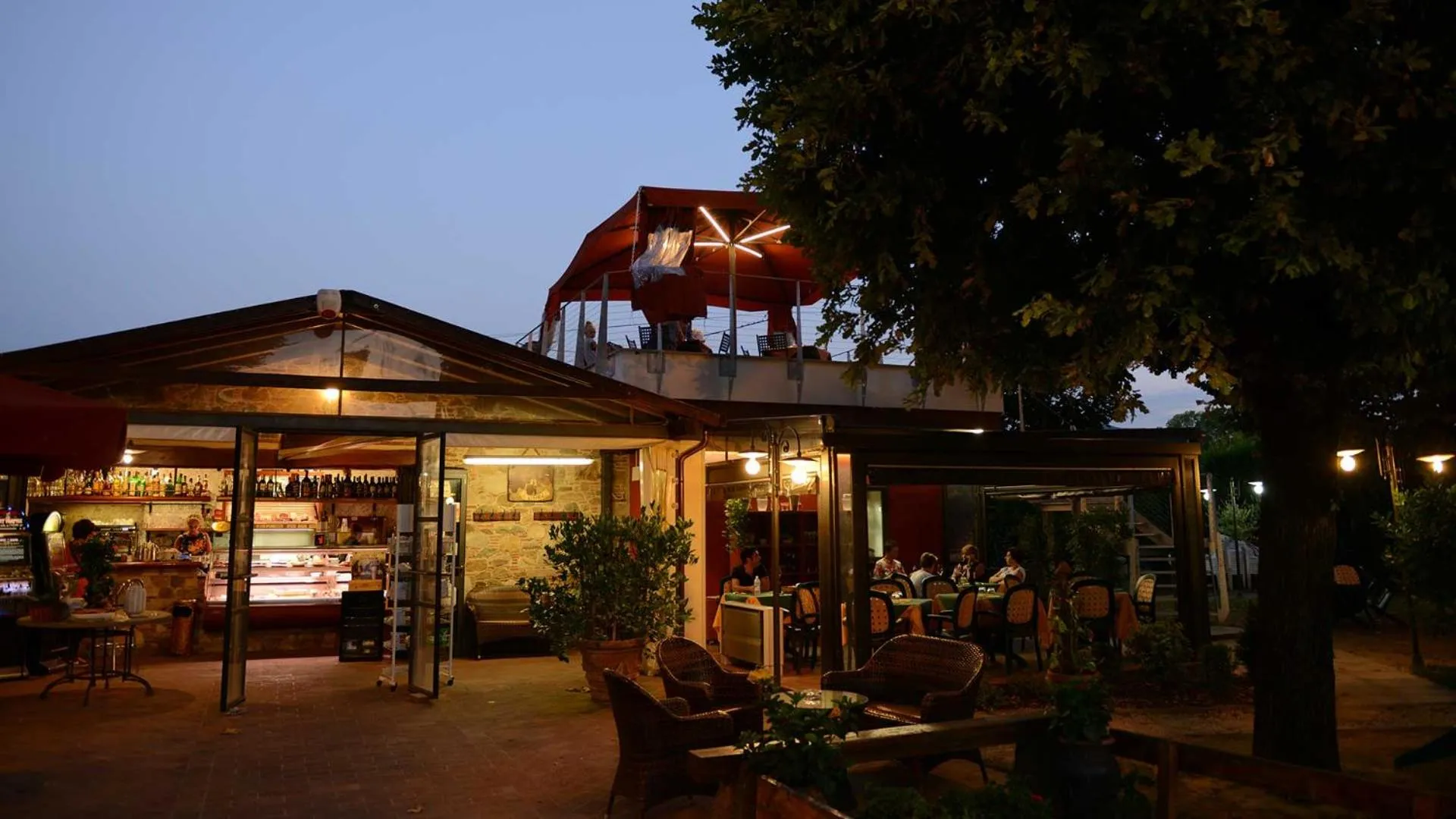
La Locanda Francigena
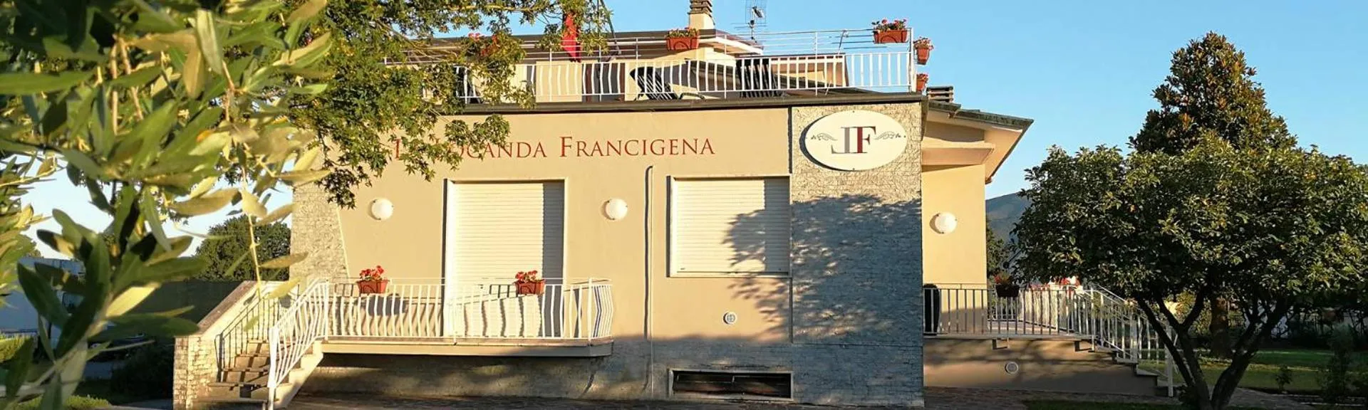


The La Locanda Francigena Has Not Been Certified As Dog Friendly
Nearby Dog Friendly Trails
This is a beautiful hike from Lucca to Pisa along the historic aqueducts, through the woods, over the mountain and through Vorno, a small town in the hills. This trail is well signposted and overall moderate, but is classified as difficult due to its length and short stretches that are more strenuous. Some hikers suggest skipping the last part of this trail and taking the bus from Asciano to Pisa if you don't like walking on asphalt.
Activities
Features
This is a variant of the official flat stage 88 from Lucca to Altopascio. This hilly variant leads to high altitude passing through Sant'Andrea. This trail is part of the 2000 km route of the Via Francigena that goes from Canterbury to Rome. To see all segments in Italy: https://www.alltrails.com/lists/via-francigena-italy To see all segments in Europe: https://www.alltrails.com/lists/via-francigena-eavf The segments of this route on Alltrails are numbered 1 to 150 from Canterbury,...
Activities
Features
This path follows the ancient via Cassia - Clodia traveled for more than two thousand years that connects the cities of Florence, Prato, Pistoia, Pescia and Lucca. This route is Stage 5 which begins in Lucca, near Piazza San Martino and reaches Pisa, crossing the Arno river from the Ponte di Mezzo to arrive at Piazza Vittorio Emanuele.
Activities
Features
A walk in the historic center of the Tuscan city of Lucca. Starting from the parking lot in Piazzale Umberto I. Proceed in a clockwise ring, arriving at Piazza Anfiteatro. From here continue the tour passing the Carmine Market from the Porta di San Gervasio and Protasio and reaching the Porta Elisa. From here you walk along a stretch of the Urban Walls to get to the starting point.
Activities
Features
A pleasant circular walk that can be done on foot or by bicycle, starting from the parking lot in Piazza del Collegio. The route starts on the city walls of Lucca and then reaches the path on the south side of the river. This path consists of cut grass, then crosses the bridge and passes the gravel bike / walk path. There is no real view of the river, except at the bridges. At each bridge there are paths that lead down to the water.