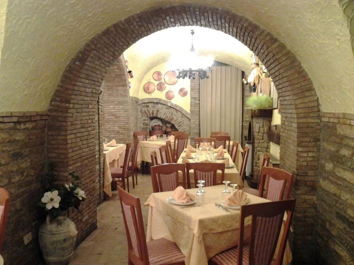
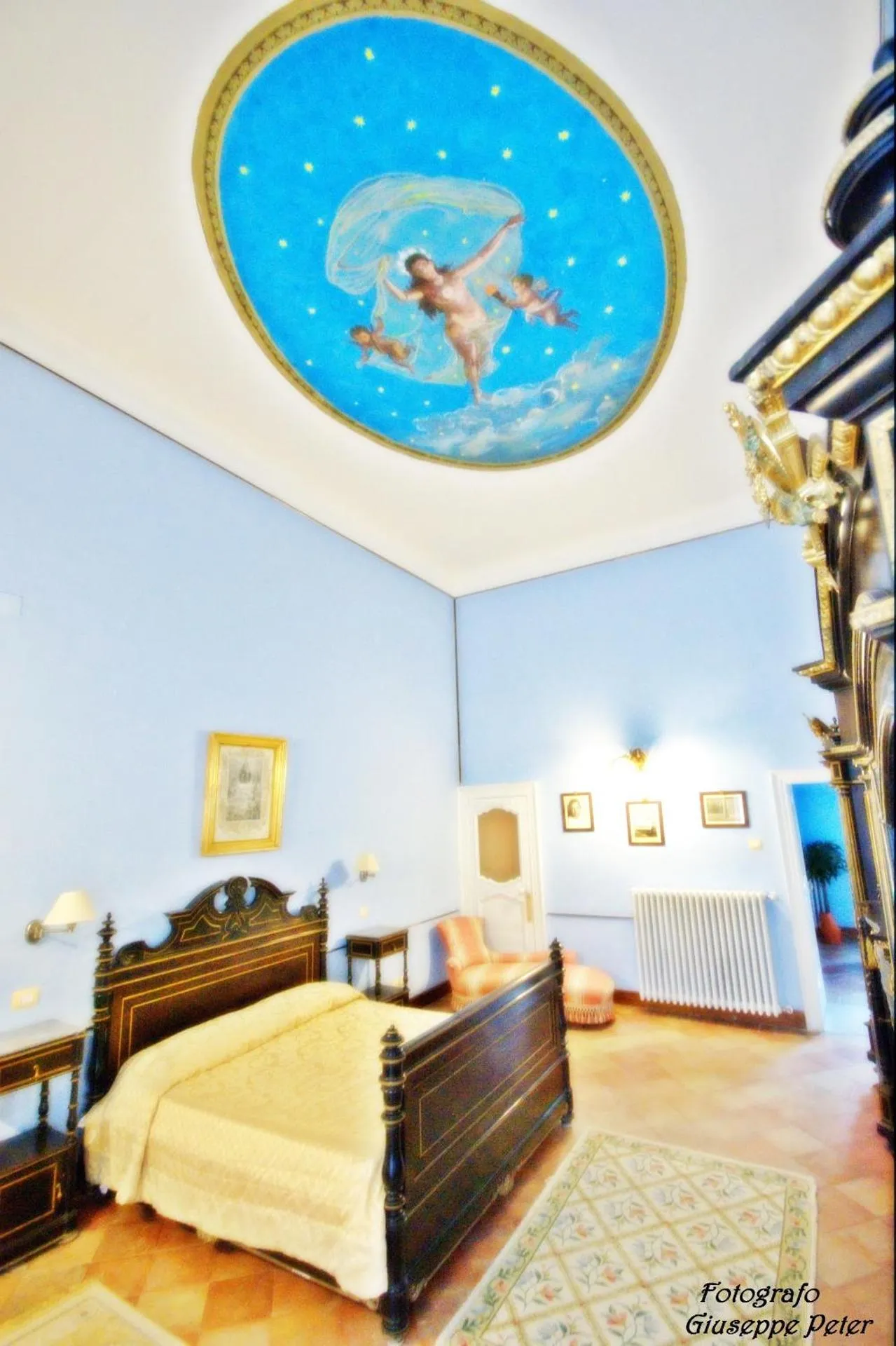
Vista Normanna


The Vista Normanna Has Not Been Certified As Dog Friendly
Nearby Dog Friendly Trails
A beautiful route in the Bosco del Principe and Serra Campanara, starting from the beginning of the Bosco di Sant'Antonio near the regional road. The excursion takes place in an anticlockwise loop starting on the regional road up to the Troilo forest refuge (812m). From here it crosses Piano del Sorbo until it reaches Monte Ingotto (878m) and returns to path 304.
Activities
Features
The Sentiero Italia is a 7,000-kilometre hiking trail that crosses all of Italy (including the islands) created to connect all the Italian regions and unite their cultural diversity, beauty and traditions of the local territories. Pass through six UNESCO heritage sites, 15 national parks and many other parks and nature reserves. The project was conceived in 1983 by a group of hiking journalists, Associazione Sentiero Italia, and then developed by the Italian Alpine Club (CAI) in 1990. This...
Activities
Features
Go down the path in front of the main entrance of the castle and cross the pine forest in steep descent for 300m. At the end it crosses a dirt road. Turn right and, after 400 m, pass under the SS692 on a concrete bridge. Continuing on the wide white dirt road, before reaching a large oak with a small house on the right; turn perpendicular to the right. and continue on the same path that leads to the SS160 / 109 (Lucera-San Severo). After covering the SS160 / 109 for about 2 km, take the path...
Activities
Features
The Sentiero Italia is a 7,000-kilometre hiking trail that crosses all of Italy (including the islands) created to connect all the Italian regions and unite their cultural diversity, beauty and traditions of the local territories. Pass through six UNESCO heritage sites, 15 national parks and many other parks and nature reserves. The project was conceived in 1983 by a group of hiking journalists, Associazione Sentiero Italia, and then developed by the Italian Alpine Club (CAI) in 1990. This...
Activities
Features
Via Francigena - Via Traiana. From the border of the region you arrive at the village of San Leonardo (territory of the Municipality of Faeto). From here to the fork on the right slightly uphill having the village on the right. After 1.5 km, on asphalt, you reach the “Mutatio Aquilonis” complex. You always continue on the same road. Climb up to the maximum altitude of Monte San Vito (964 m) and from here you begin to descend along the asphalted road (Egnatia - Via Traiana) but with the...