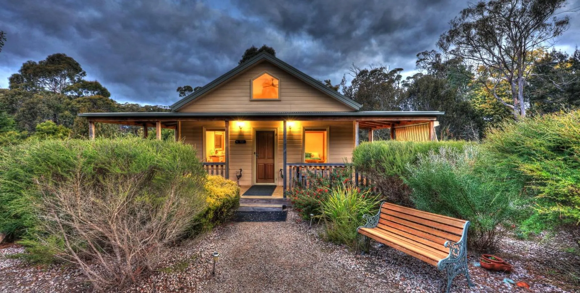
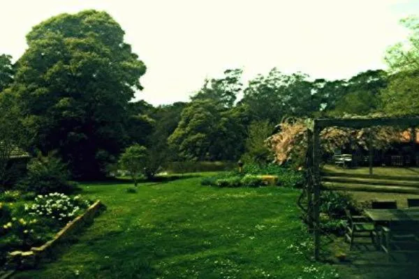
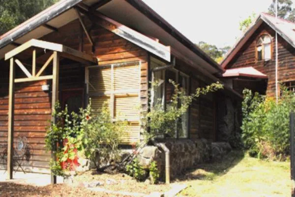
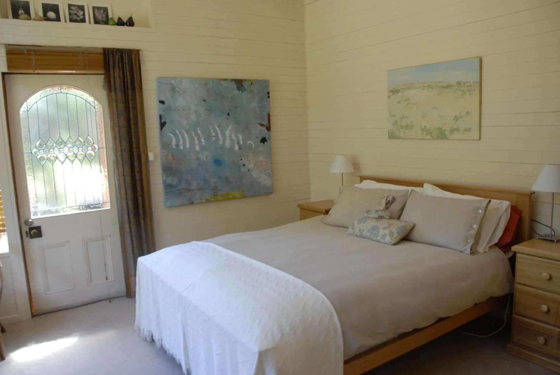
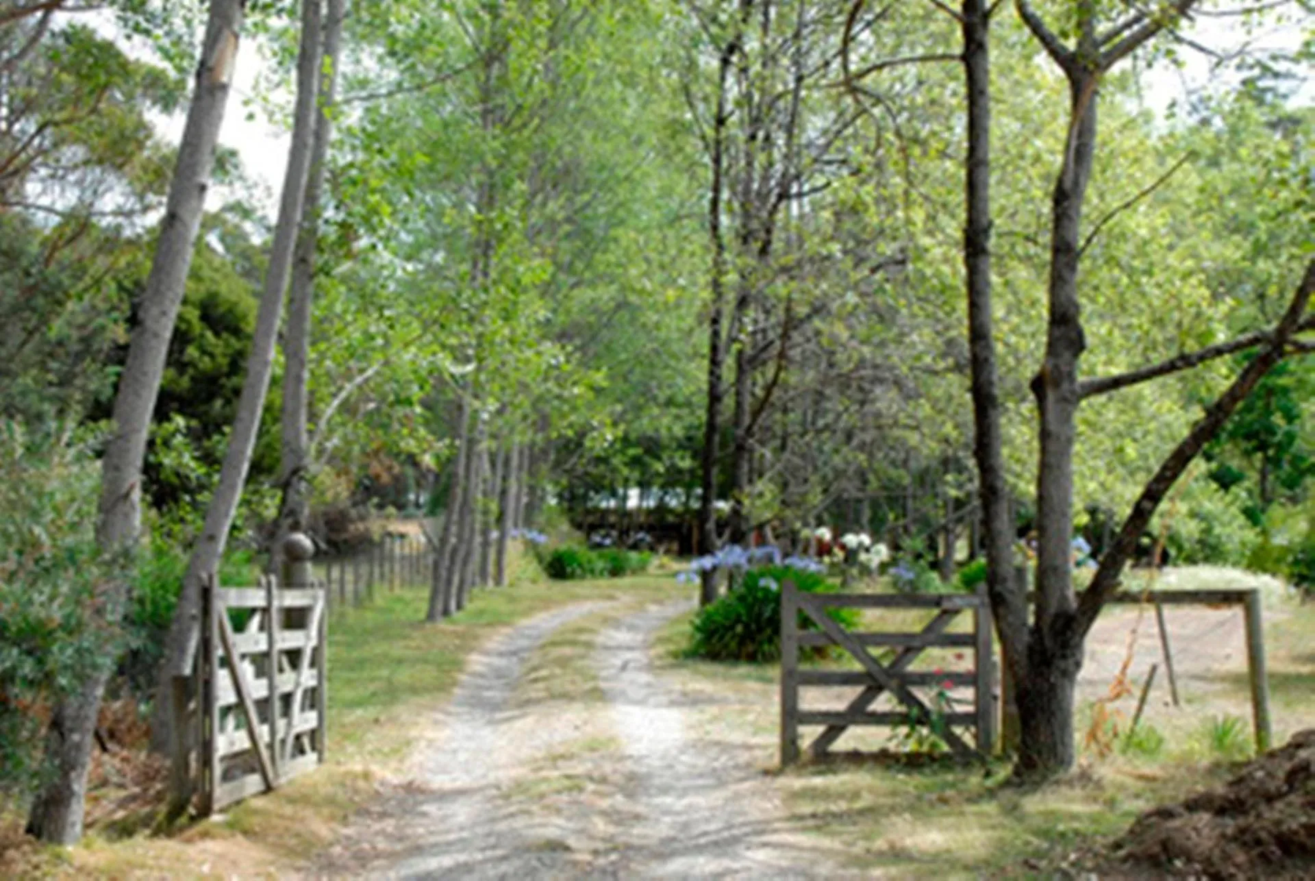
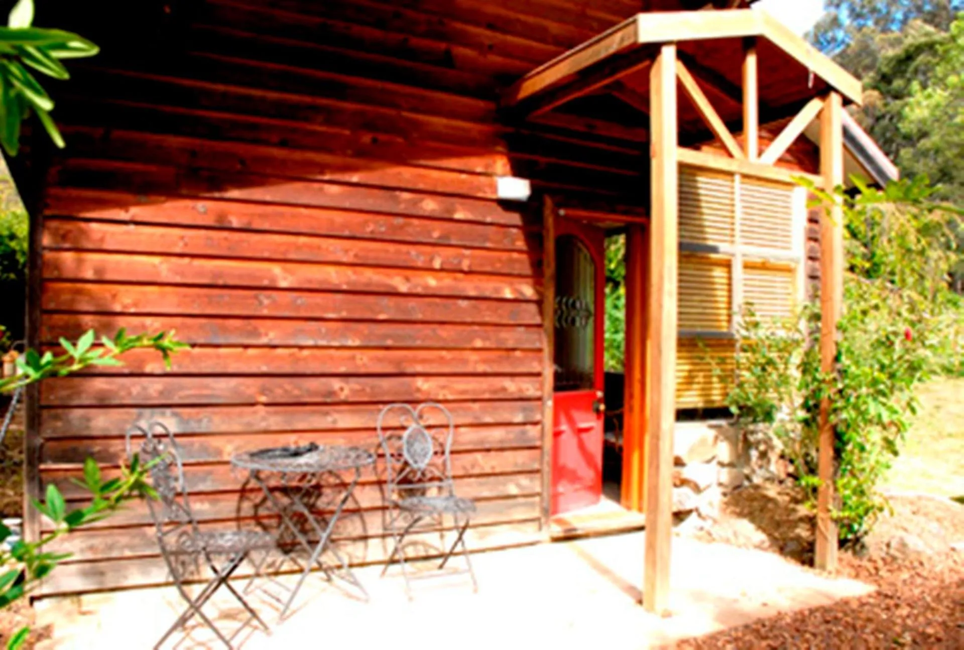
Birdwing Bed and Breakfast Weegena
The Birdwing Bed and Breakfast Weegena Has Not Been Certified As Dog Friendly
Nearby Dog Friendly Trails
A short walk through Alum Cliffs State Reserve, in north central Tasmania, located not too far from the town of Deloraine. This out and back route begins and ends from the corner of Mersey Hill Road. The trail itself is a relatively easy walk along well maintained roads out to an awesome lookout. Enjoy the stunning views of the Allum Cliffs and Mersey river.
Activities
Features
A lovely walk along the pretty trail to the falls near Needles, Tasmania. A straightforward dry trail that then turns into a steep section down to the falls. There is limited signage and parking on the side of the road. It is a lovely spot to have a swim on a warm day. The track is narrow at times, so watch your footing and wear appropriate shoes.
Activities
Features
Kimberley Lookout via Redwater Creek Falls is a top notch trail with some epic views across the valley and plains below. Check out some funky fungi, dip your toes in a bubbling creek and faff about in the fern filled forest! The start of the hike can be accessed via Sheffield Road where there is a dirt road veering off to towards trailhead. There ascent will be felt in those calves but it's gradual and well worth it for the expansive views at the summit. An absolute beaut that's only a short...
Activities
Features
A beautiful trail in the Upper Mercy Valley of central northern Tasmania - not too far from the town of Mole Creek. This out and back trail begins and ends from the end of Bottom Road, which can be accessed from Belstone Road, off Union Bridge Road. The trail itself is very well maintained and well sign posted. It does feature a very steep incline, ascending 450 metres in just 1.5 kilometres of track! The waterfalls at the end are awesome though and make it totally worth your while!
Activities
Features
This is a very physical and difficult hike with the leg through the flat lands to the Mount Roland track sometimes hard to follow. Having the map downloaded ahead of time can be quite useful to help navigate. There are ropes and ladders used in the final section of the climb and a cave which may require a light to safely get through. You should be prepared with all equipment to err on the safe side. All that aside, it is an amazing, quiet and unique way to explore Mount Roland and Mount...