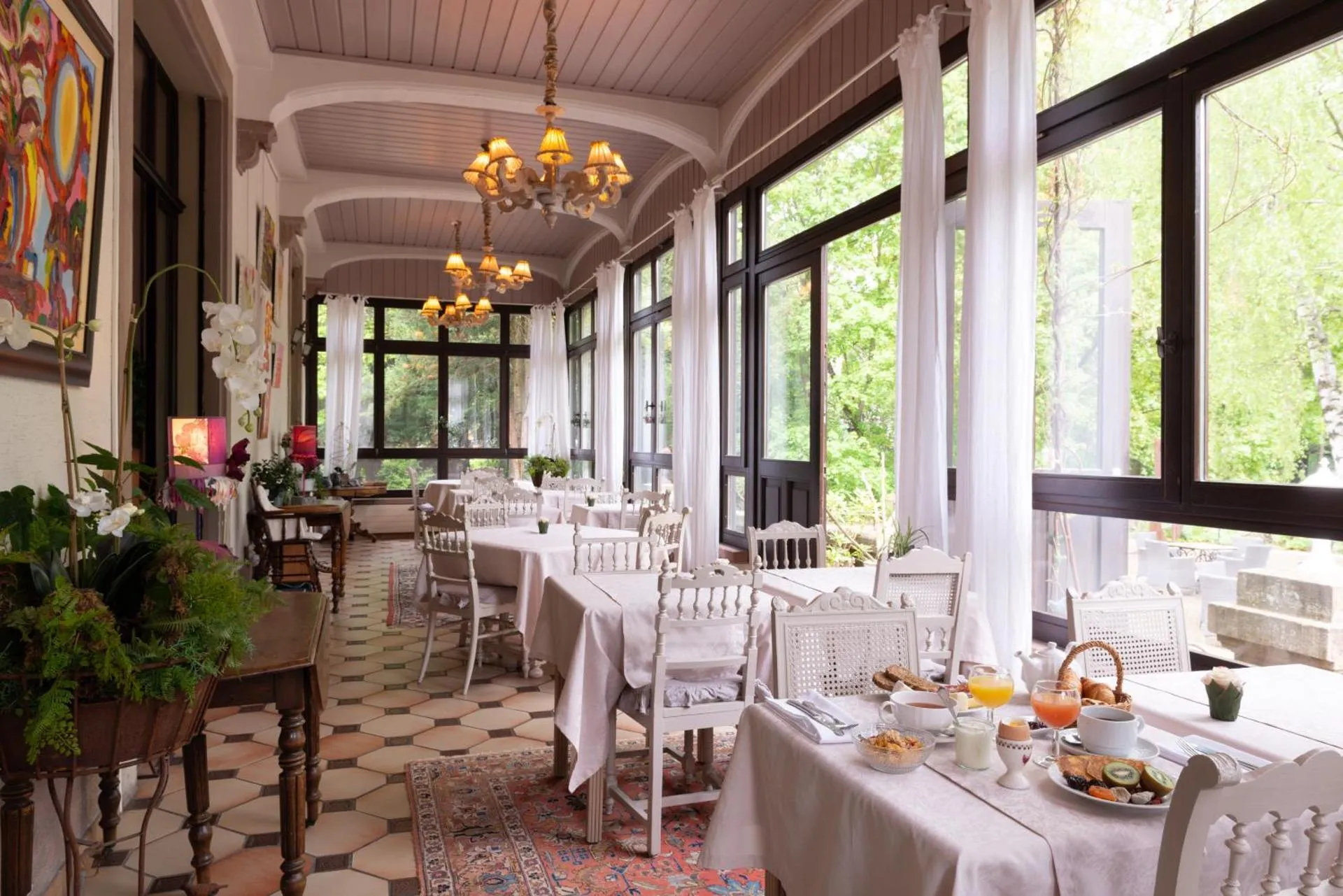
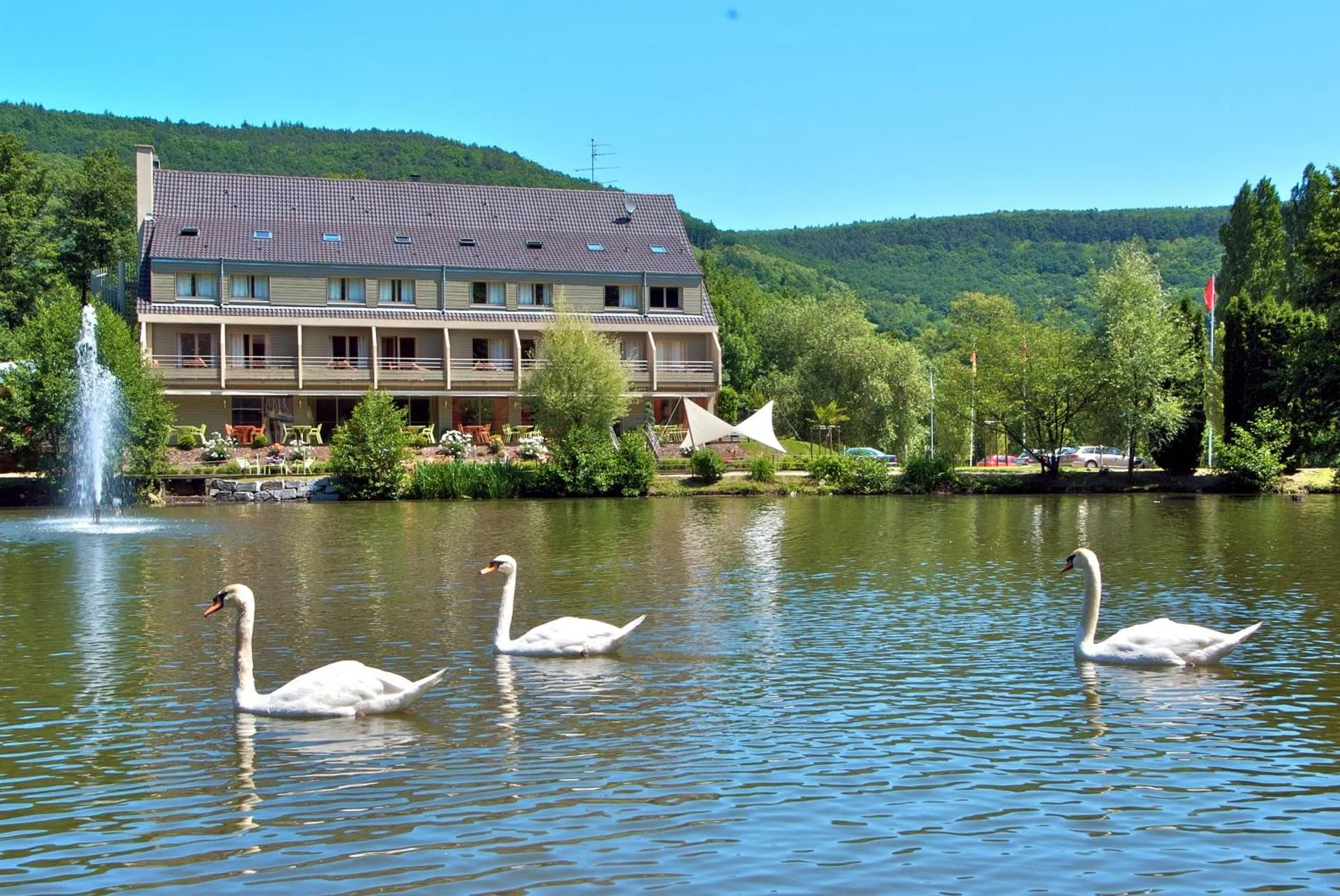
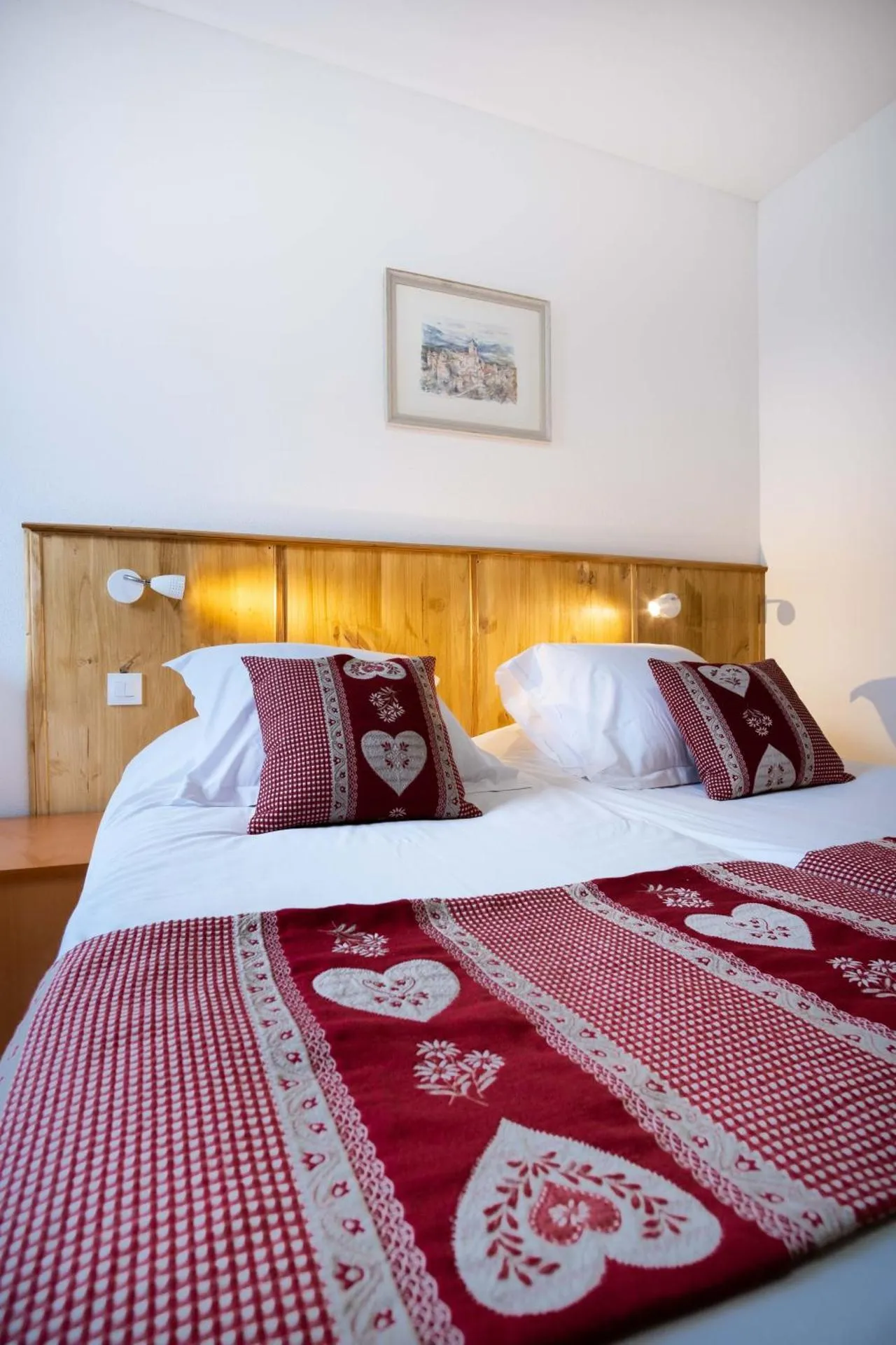
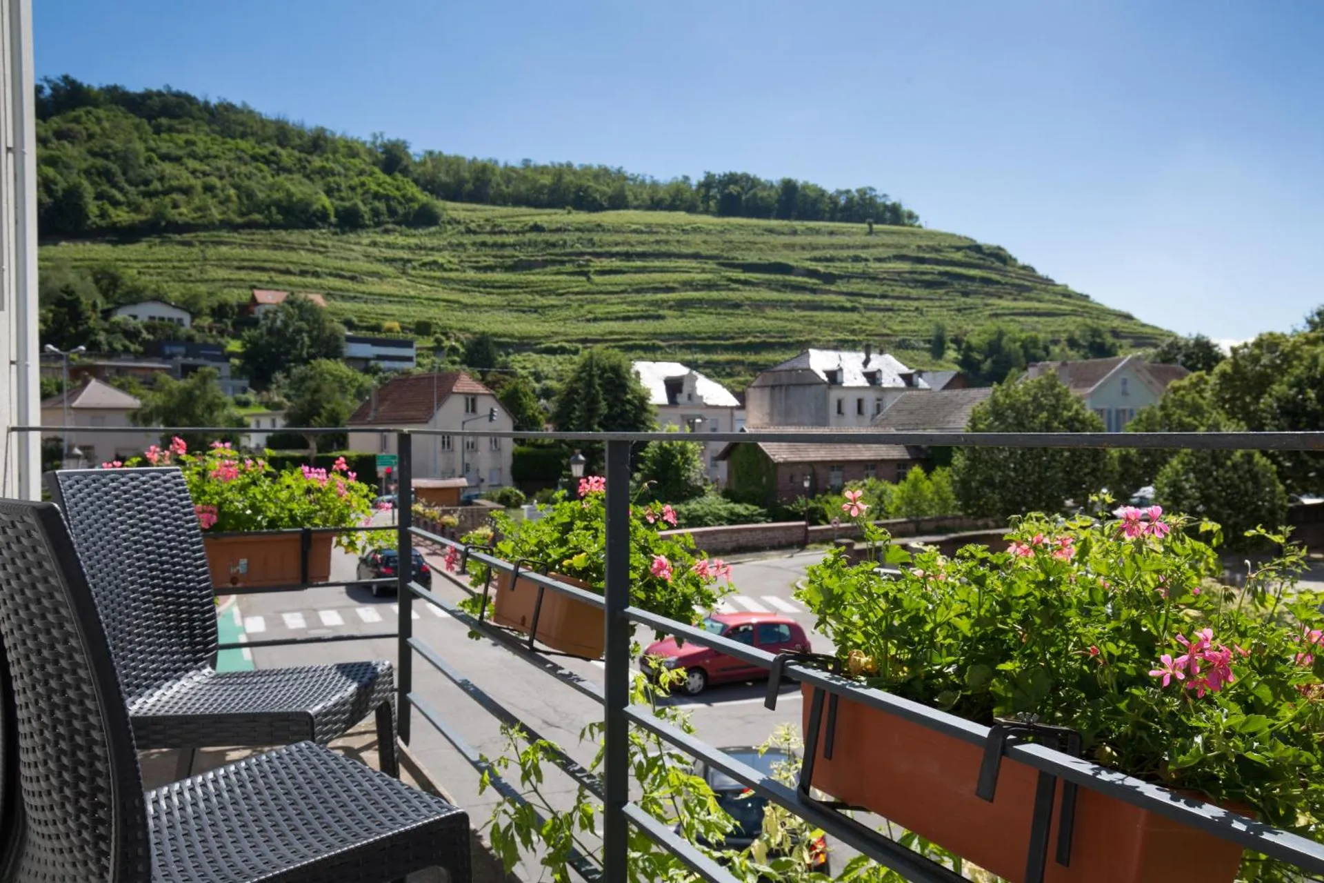
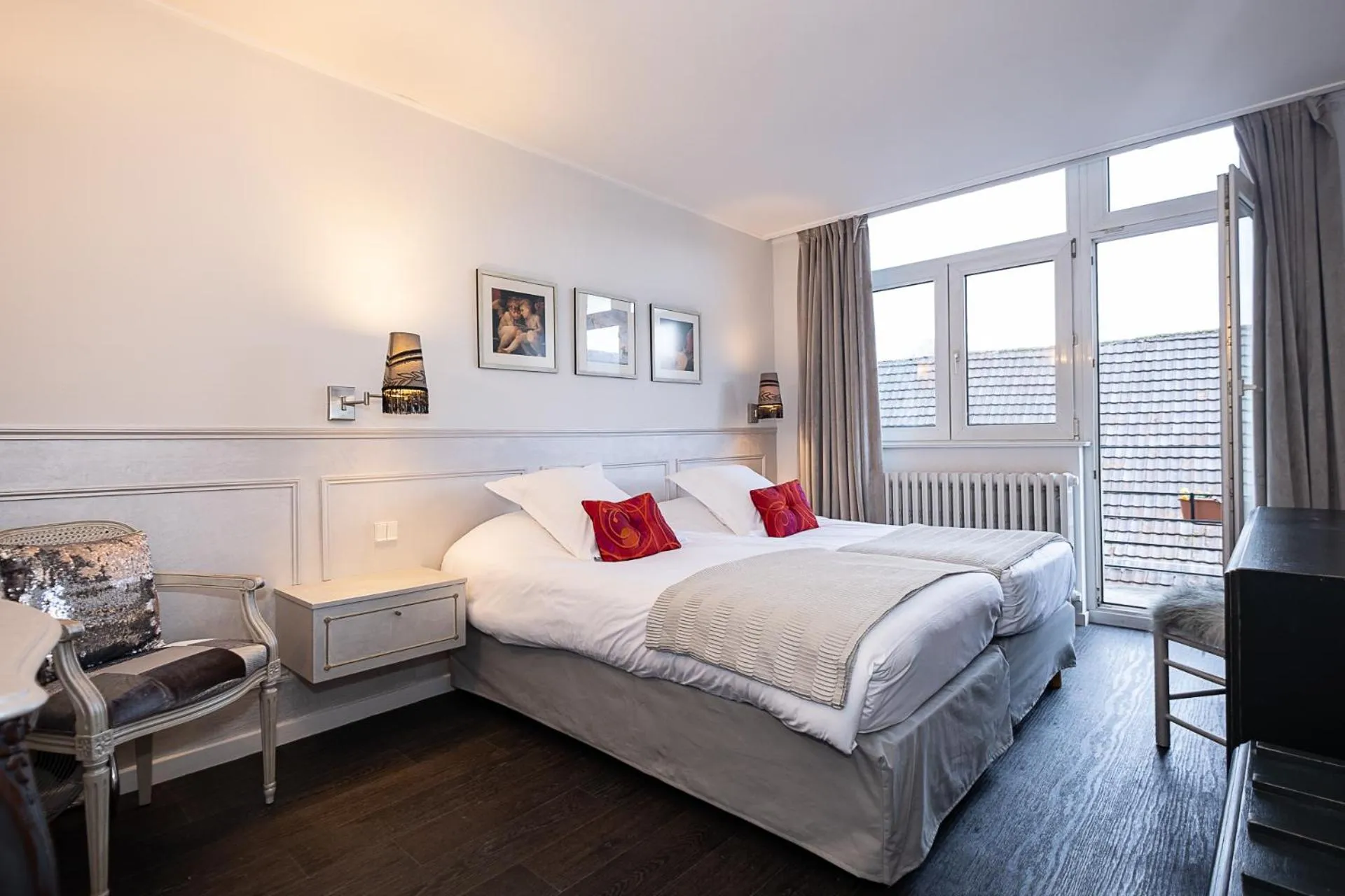
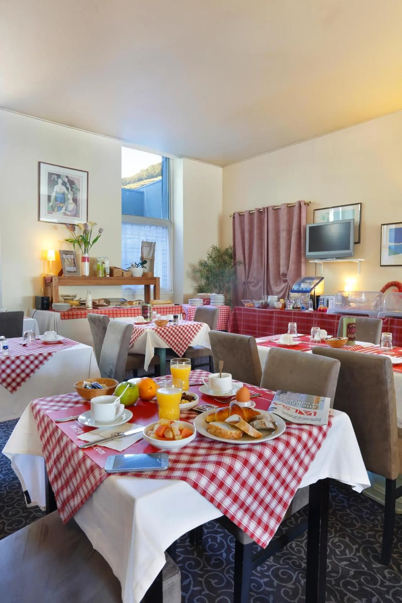
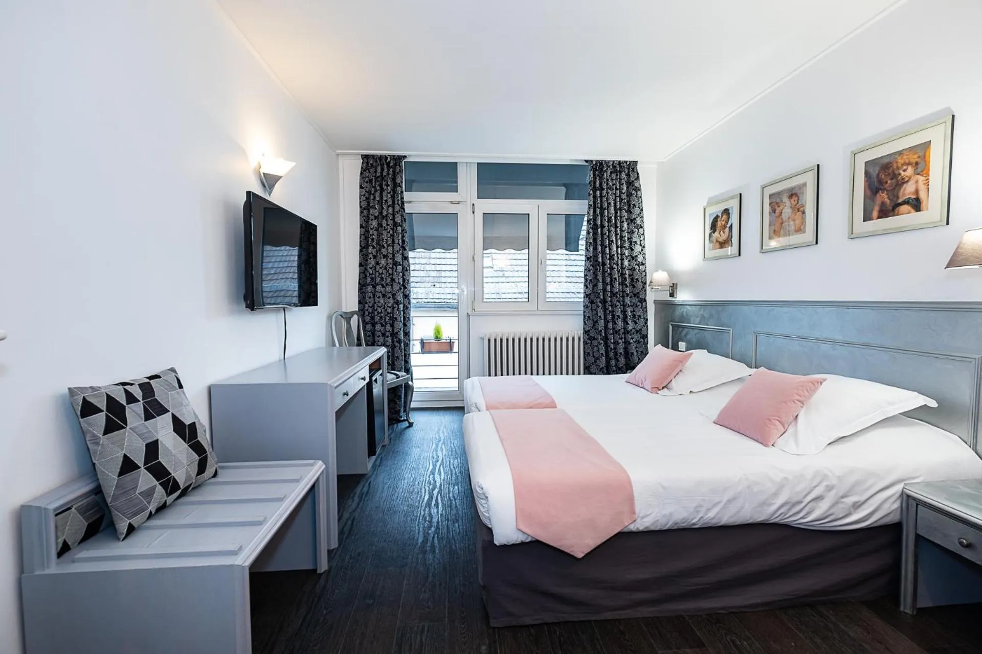
The Originals City Hotel de l Ange Guebwiller

The The Originals City Hotel de l Ange Guebwiller Has Not Been Certified As Dog Friendly
Nearby Dog Friendly Trails
This course mainly located on the plain will allow you to discover an overview of the Alsatian landscapes. You can admire on one side the Vosges mountains and on the other side, in the distance, the German massif of the Black Forest. You will take a long segment of the Véloroute des Vélorignes, an opportunity for you to discover these original landscapes. Nearby places of interest: - Ecomusée d'Alsace (Ungersheim) - The Parc du Petit Prince (Ungersheim) - The city of Soultzmatt - The...
Activities
Features
Small urban running course in the center of Guebwiller. This 3.2 km circuit uses only asphalt and paved roads. It passes in particular through the green network of Guebwiller. This circuit can be extended by several other small circuits in the direction of Buhl, Soultz and/or Issenheim.
Activities
Features
This family circuit, which can be done on foot or by bike, takes you to the lower part of the town of Guebwiller and the commune of Issenheim, through the Oberwald forest and along the Lauch river. A route in the Ballons des Vosges Regional Natural Park without great difficulty. The return is via the Saering vineyard.
Activities
Features
This long course of nearly 90km mainly located on the plain will allow you to discover a glimpse of the Alsatian landscapes. You can admire the Vosges mountains on one side and the German Black Forest on the other side. You will take both routes on specific sites and departmental roads. Some crossroads require to be approached with caution. Nearby places of interest: - Ecomusée d'Alsace (Ungersheim) - The Parc du Petit Prince (Ungersheim) - The city of Soultzmatt - The Rodolphe tile (mining...
Activities
Features
Without a doubt, one of the most beautiful loops starting from Guebwiller! By bringing together all that is most aesthetic and technical, this demanding hiking route requires the hiker to manage the many hills and revivals. Be careful, the markings are not always easy to find, so follow the trail on the map.