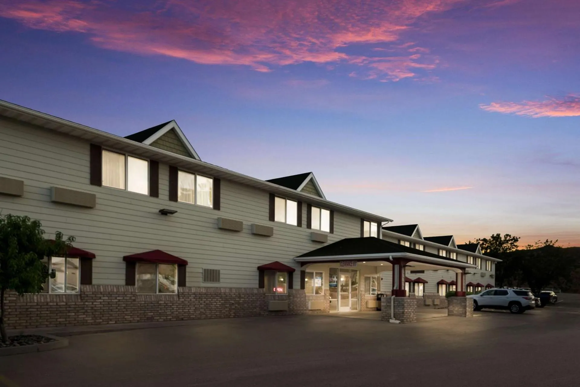
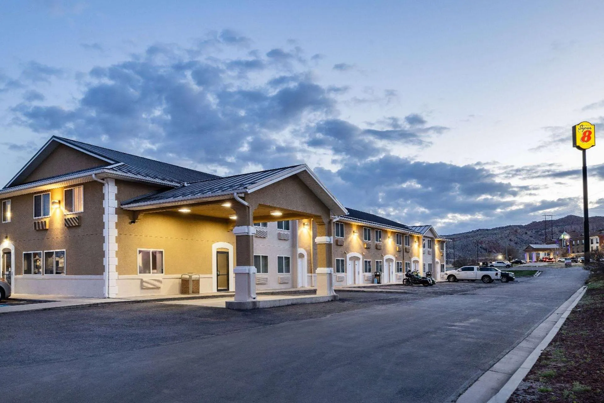
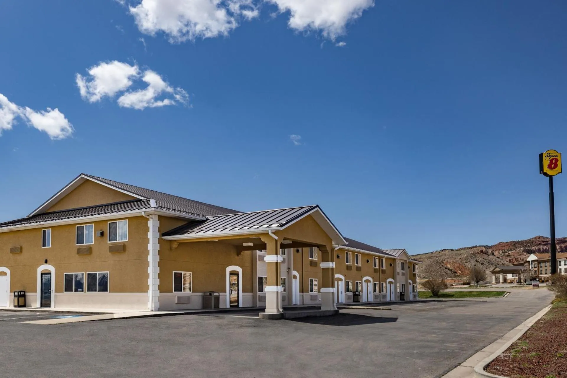
Super 8 by Wyndham Richfield UT


The Super 8 by Wyndham Richfield UT Has Not Been Certified As Dog Friendly
Nearby Dog Friendly Trails
Trailhead starts across the cedar bridge at Miners Park. There's a 60 foot waterfall at the end, plus another waterfall on your left halfway up the trail. The road leading to the trail is full of rocks. When you reach the sign for Miners park the trail is on the right.
Activities
Features
This trail is still closed to ATVS however hikers are still able to access it. Tallest mountain in the Tushar Mountains, Beaver and Piute Counties. This is a relatively easy hike considering how tall it is. The Tushar Mountains are the third tallest group of mountains in Utah. Upon seeing some of the other majestic peaks, one would want to climb those. In comparison to Belknap and Baldy, Delano is a giant heap of rock, with no craggy features like some of its neighbors. The benefit is...
Activities
Features
While this route can be done as an out and back, hiking it as a one way is the more popular option. As this is a river canyon hike that is mostly downhill the route is typically done as a one-way, top-down hike requiring a car shuttle. You will need to park a car at each end if you want to do a one way. This listed hiking time here may be much less time that it takes most to complete the route, so plan for a longer day. Be aware that due to increased visitation, limited parking at the...
Activities
Features
Chimney Rock Loop Trail is a demanding loop trail in Capitol Reef National Park located near Torrey, Utah that offers wide panoramic views along the Waterpocket Fold. Starting as a strenuous climb up switchbacks for the first quarter-mile; then it becomes a moderate loop hike afterward offering views of Chimney Rock and sweeping panoramas from the top of the mesa along the edge of the Waterpocket Fold. Chimney Rock is a natural spire, eroded out of the side of the mesa, and stands 300 ft...
Activities
Features
From the parking area, begin hiking south on the well-worn slickrock trail. Continue hiking as the trail ascends approximately 35 feet and just over 100 yards to the top of Panorama Point. An exhibit on top provides information about the exceptionally clean air found in the park that contributes to the incredible views before you. Standing on top, it’s easy to see how this place got its name. There simply isn’t a bad view in any direction.