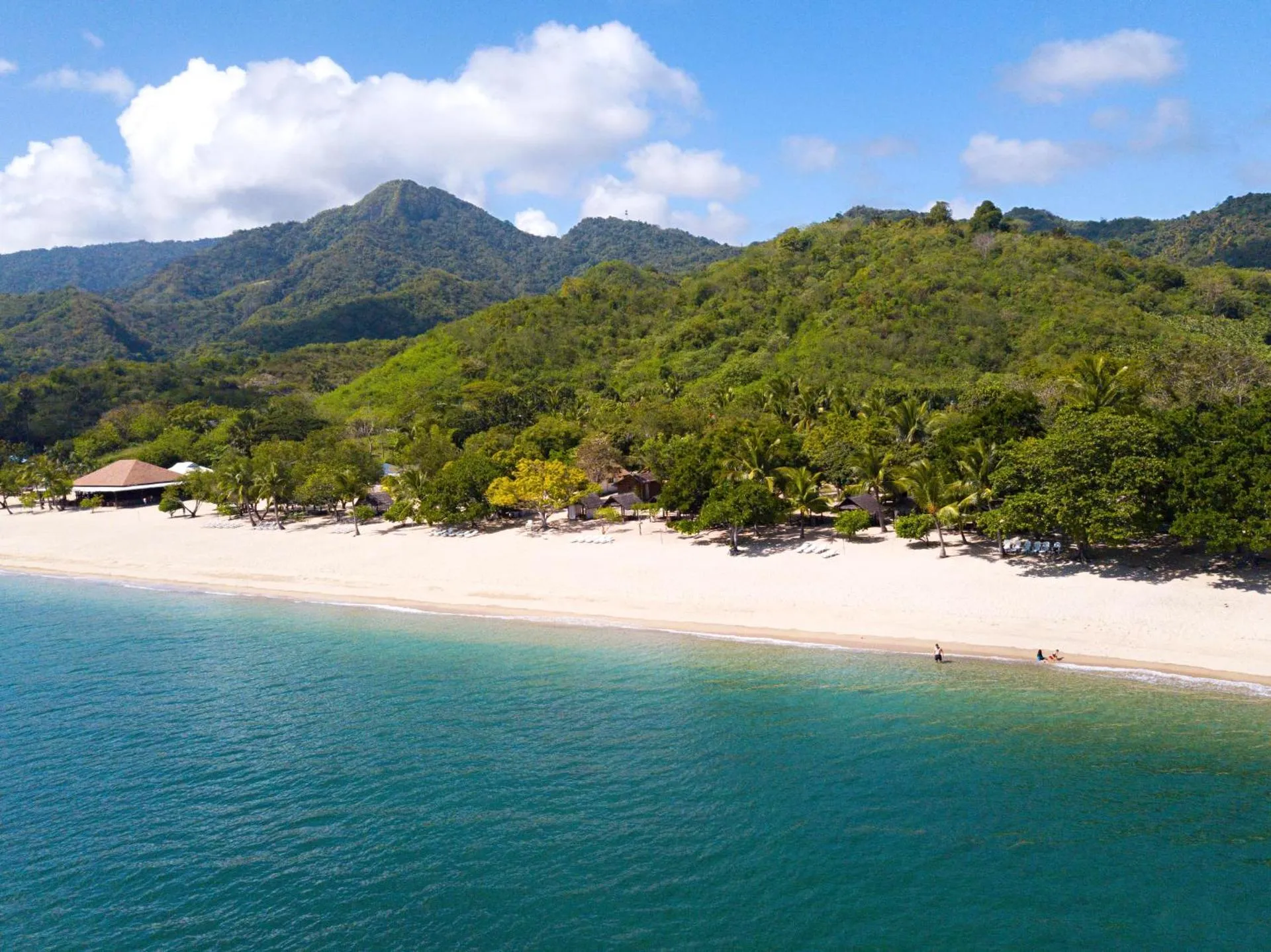
Cala Laiya
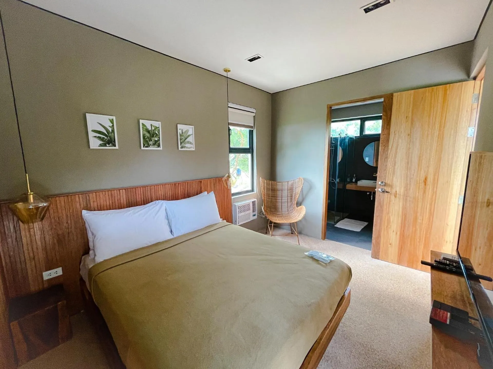


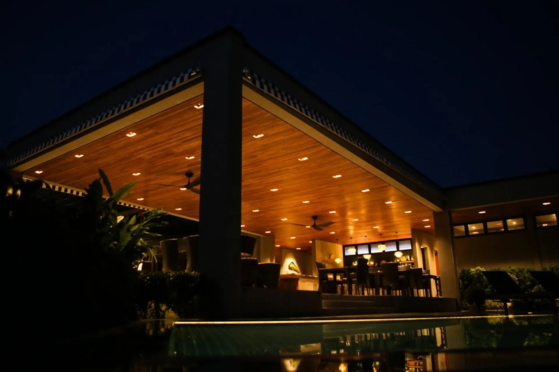
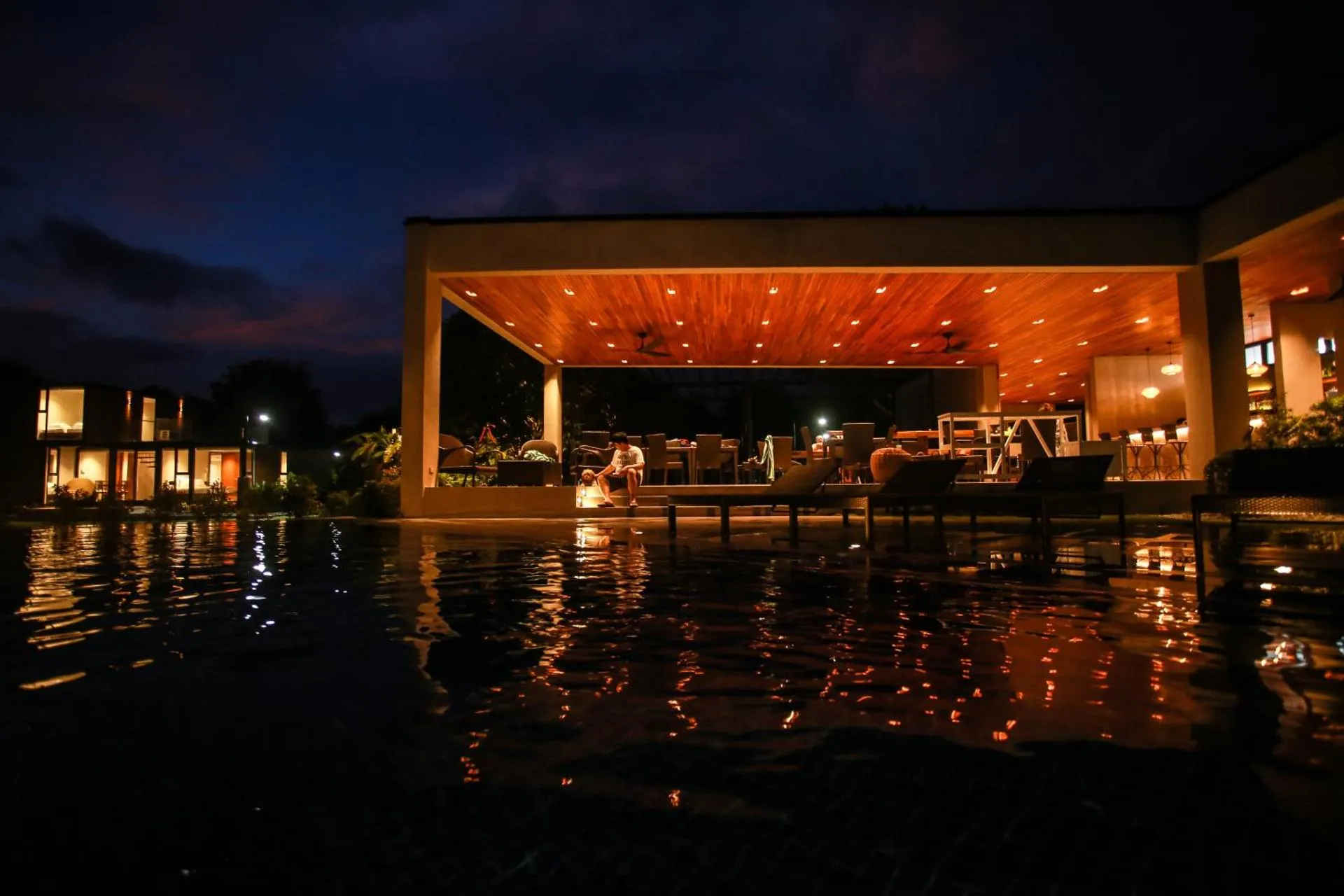
The Cala Laiya Has Not Been Certified As Dog Friendly
Nearby Dog Friendly Trails
Mount Daguldol/Mt. Daguldol/Daguldul is a stunning mountain with a lot to offer. Firstly, the word Daguldol has a meaning similar to grandness. This mountain although not as popular as its counterparts (Batulao, etc) is a one of a kind mountain where you will be able to experience a variety of terrains. Daguldol provides great views overlooking the nearby beach, lush woodlands, rolling slopes, and nearby mountains. The view at the summit is the best as you can experience both the sea and the...
Activities
Features
This trail usually begins at Antiopolo Elementary School and ends at the summit of Mount Maguldul. Rosario is a first-class municipality in the province of Batangas and is known to be the Rice Granary of the province. It also houses many hiking trails that you can choose from according to your preference.
Activities
Features
San Cristobal is located at the boundary of the provinces of Laguna and Quezon on the island of Luzon, Philippines. The trail usually starts along Rizal Avenue near Candelaria Town Plaza. There are also food establishments like Mang Inasal, Goldilocks, Greenwich, Jollibee and Escano-Reyes Kitchenette near the town plaza where you can fuel up before the start of your hike.
Activities
Features
Located at the base of Mount Banahaw in Barangay Mayabobo, Candelaria in Quezon lies Mount Mayabobo. It is a cinder cone mountain that is a popular destination to locals of Candeleria and its nearby municipalities. The trail usually starts near Maharlika Highway and ends at Mount Mayabobo summit where you will be rewarded with a beautiful view of nature.
Activities
Features
Mount Lobo's peak lies on the mountain range running across from Lobo, Batangas extending to San Juan, Batangas. This trail camping trail is located at Barangay Nagtoctoc and visiting the said barangay is a nice idea before going up to the peak. It is recommended to do the hike during summer so that the river water is at low level. The trail is not that hot because of canopies along the way. Water source is available at the trail head and the local house before the peak.