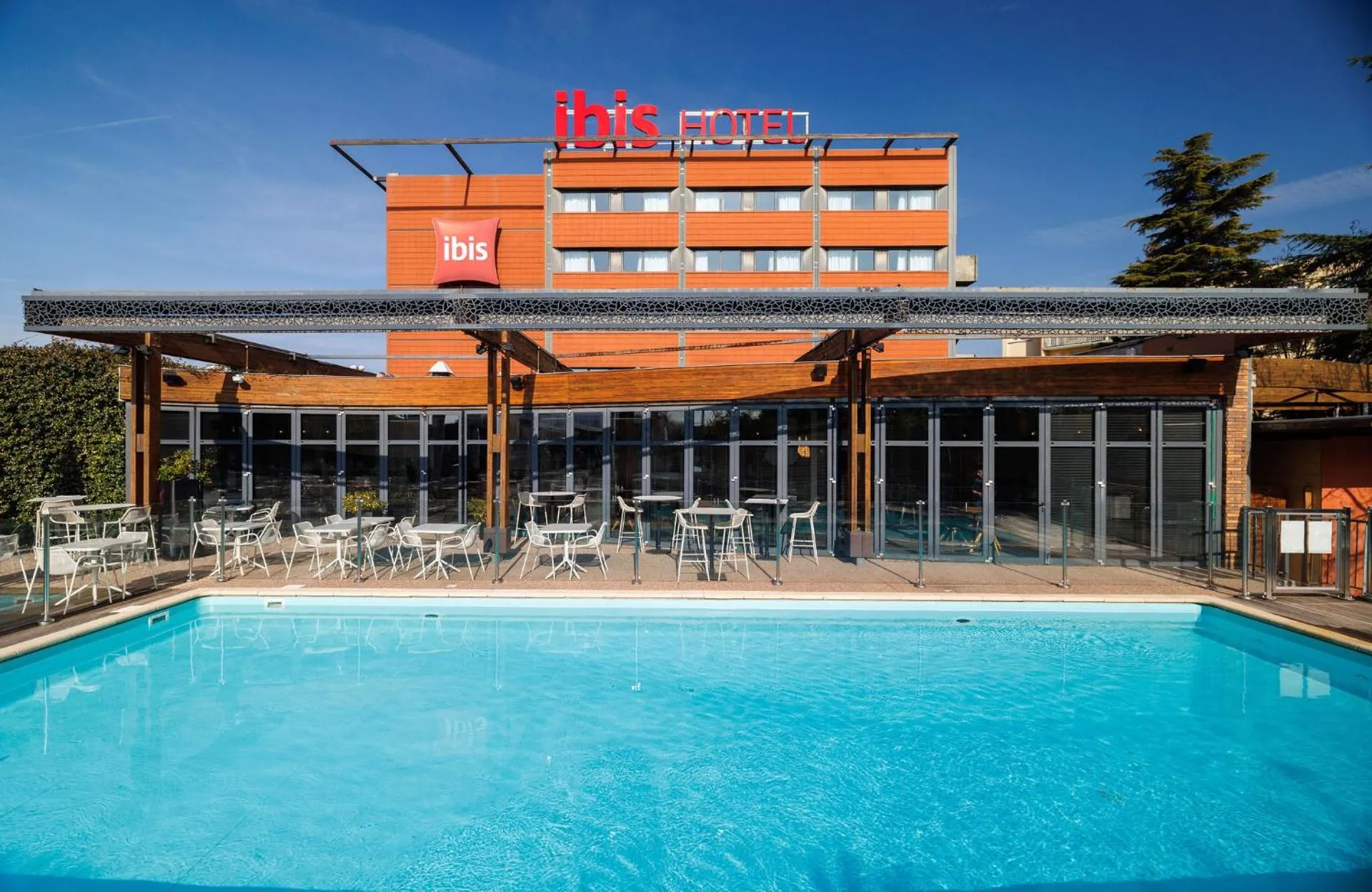
Maison Pic
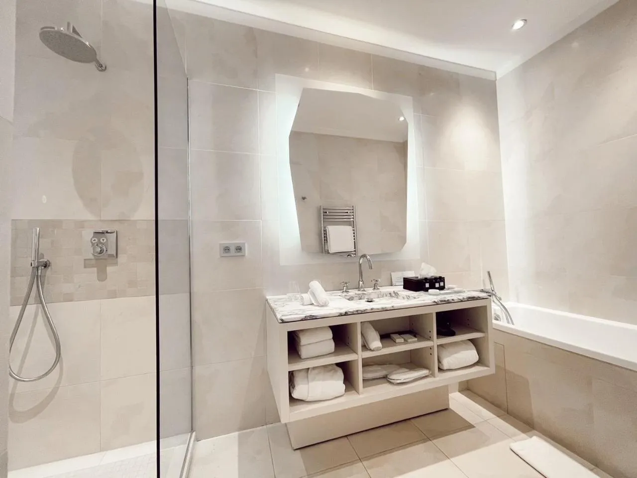
The Maison Pic Has Not Been Certified As Dog Friendly
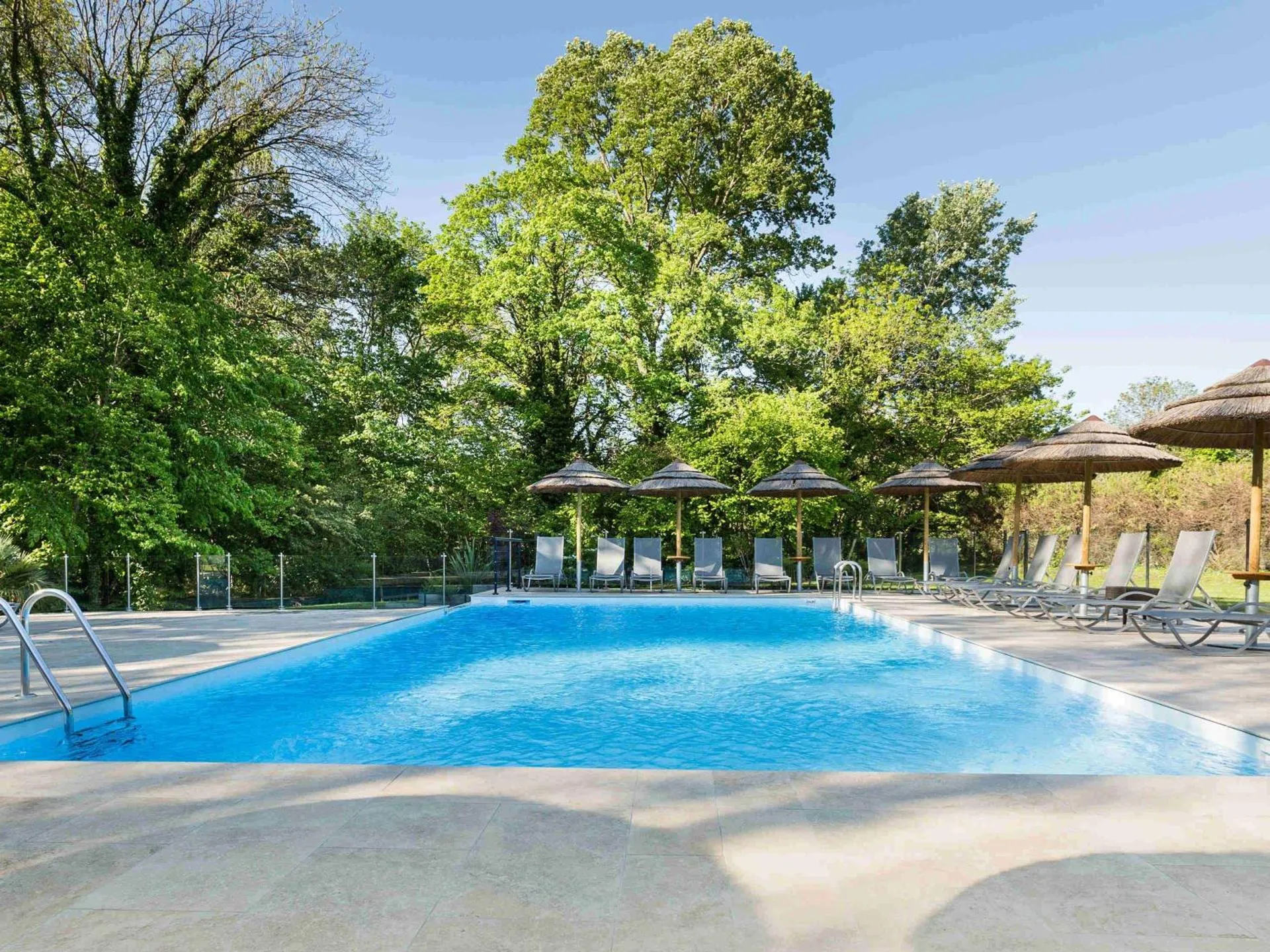
Nearby Dog Friendly Trails
Hike on two banks of the Rhône, in the towns of Guilherand-Granges and Valence, on the border between the departments of Ardèche and Drôme. Along the way, you will take the Via Rhôna cycle path, and you will cross the Épervière and Jouvet parks. You will find several picnic tables at the water's edge, if you want to take a break to eat.
Activities
Features
Route on foot or by bike on the pretty banks of the Rhône, from the town of Guilherand-Granges opposite Valence, to the charming village of Châteaubourg, in the Ardèche department. In the village, you can see the beautiful perched castle of Châteaubourg, which dates from the 11th century. You will find several picnic tables along the water.
Activities
Features
This cycle route is a stage of the ViaRhôna. The ViaRhôna connects Lake Geneva to the Mediterranean by bike following the course of the Rhône. Departing from Valence, this course along the water joins the town of La Voulte-sur-Rhône. The route crosses the Ardèche and its villages of character. Along the way you can discover Beauchastel and its castle, Soyons and its archaeological site. La Voulte-sur-Rhône is home to a site classified as a sensitive nature reserve. It is a paleontological...
Activities
Features
Cycle route along the Rhône, between caves and archaeological site, villages of character, castles, nature reserve, sensitive natural area. This section of the ViaRhôna enters the heart of the Ardèche, between the city of Valence and the charming town of Voulte-sur-Rhône, via the gentle route of the Dolce Via.
Activities
Features
The blue route is a path dedicated to pedestrians and bicycles which offers 12 kilometers of stroll along the Rhône between Guilherand-Granges and Châteaubourg. 100m from the ViaRhôna car park at the Pont des Lônes in the direction of Soyons, you will join the blue lane in the direction of Guilherand-Granges. As for the northern link with ViaRhôna from Châteaubourg to Glun (about 2 kms) it remains to be developed. Half of the paths taken are made up of a stabilized surface, the rest being...