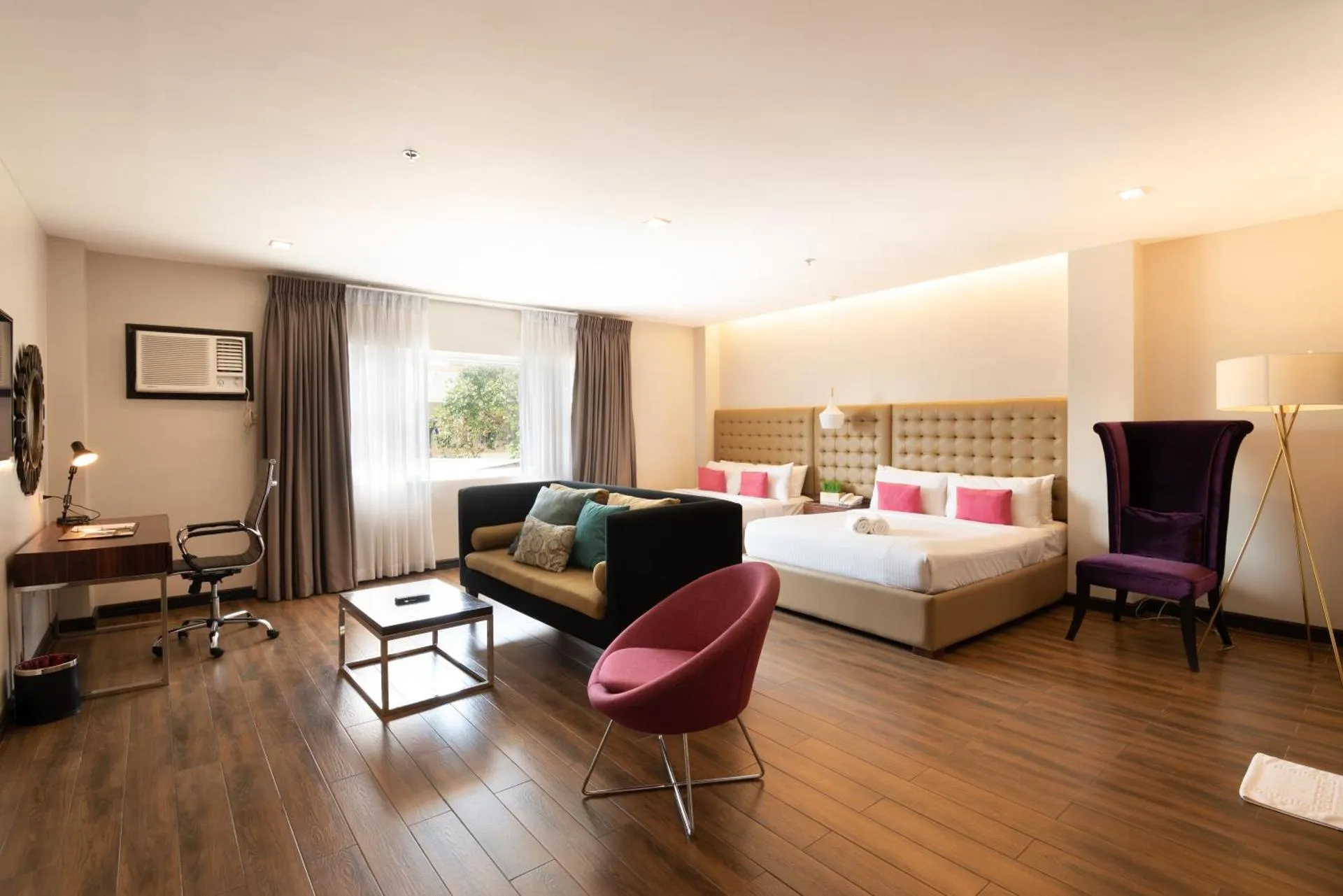
Hiraya Wellness Resort and Ecopark
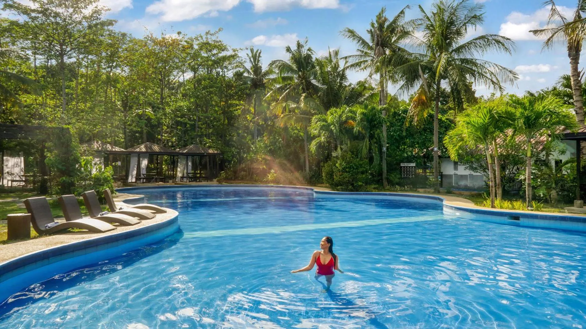
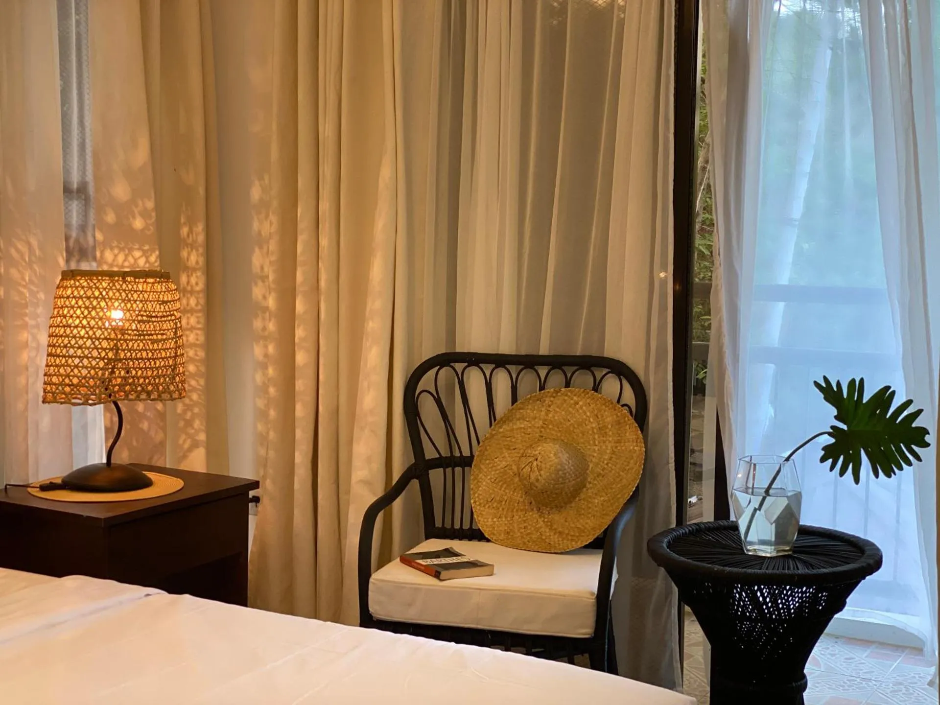
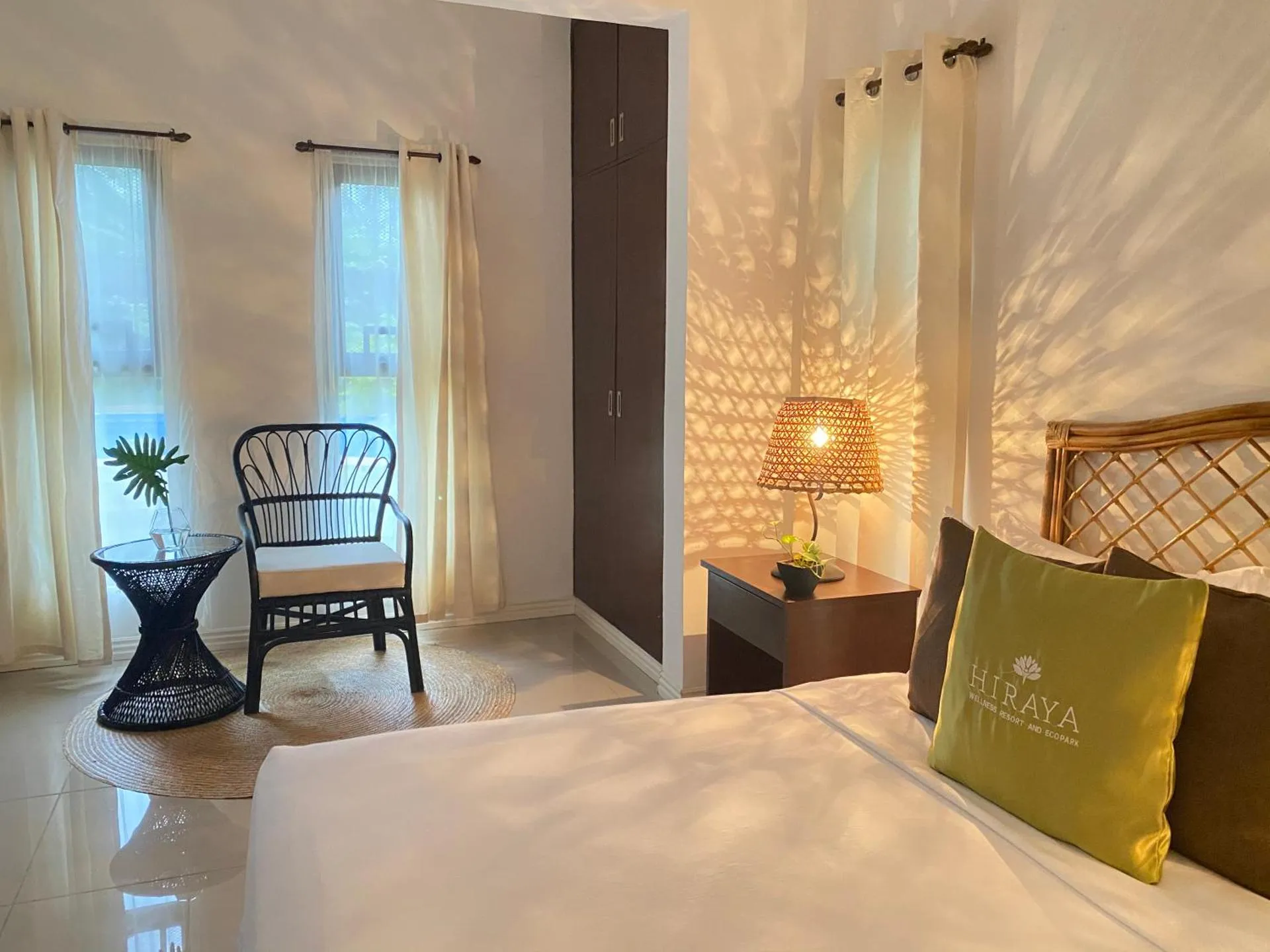
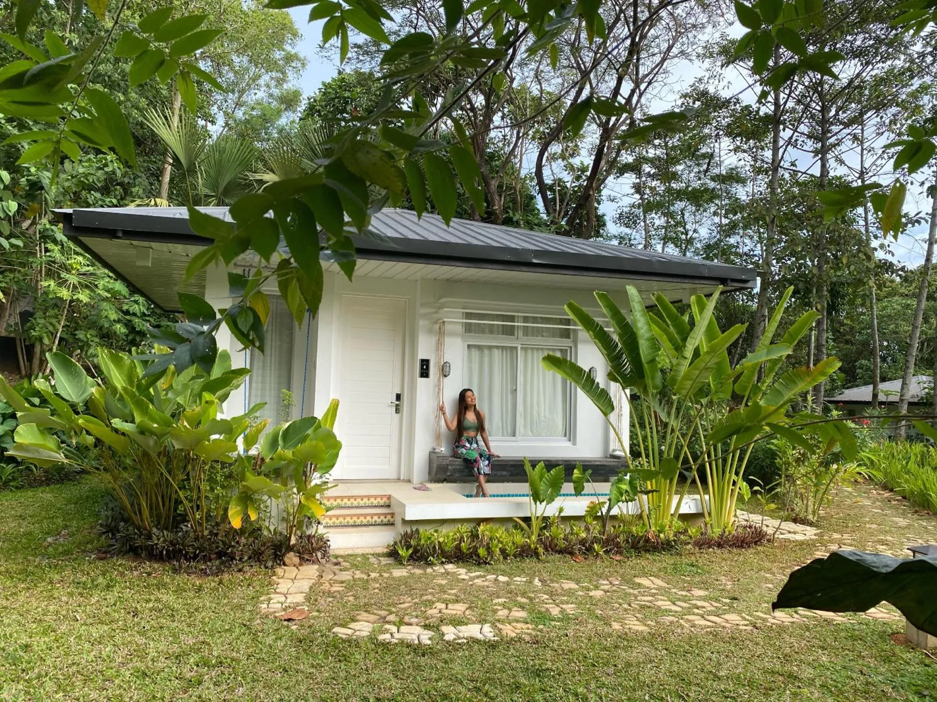
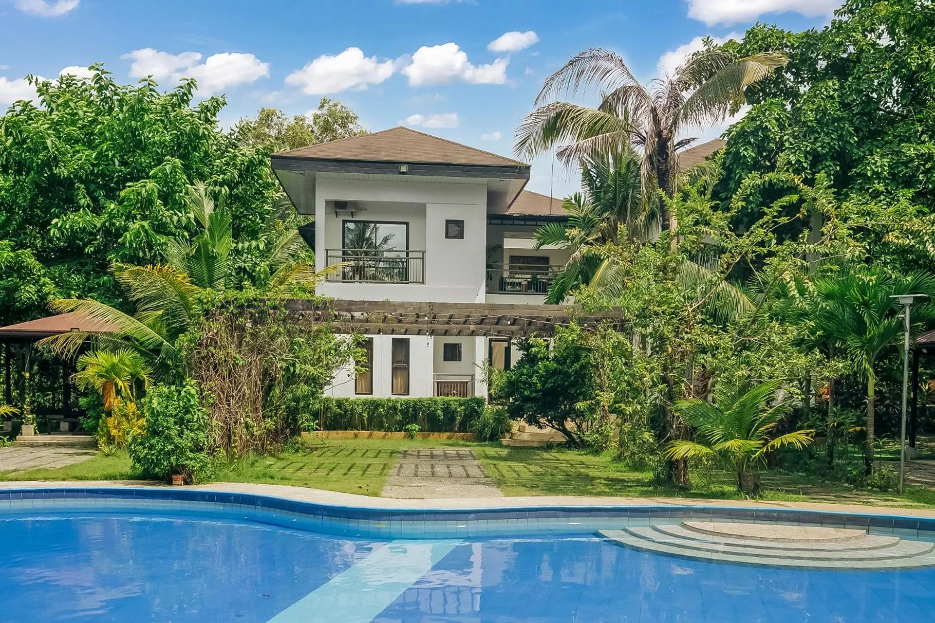
The Hiraya Wellness Resort and Ecopark Has Not Been Certified As Dog Friendly
Nearby Dog Friendly Trails
If you are looking for a short and easy route around Aguilar, this one is recommended for you. This trail usually starts near Aguilar Integrated School along the crossing of Romulo Highway and San Carlos -Aguilar Road. The Poblacion is just a few meters away where you can meet some locals and try some delicacies that it offers.
Activities
Features
Another trail that leads to the summit of Mount Malabobo, this hike usually starts near Bogtong Elementary School along Romulo Highway. You will be passing by Romulo Highway half of the trail and then a few plains before reaching the mountain. It is recommended that you register at the barangay hall before the start of your hike.
Activities
Features
This cycle route gives you a picture of the Municipality of Calasiao, Pangasinan and its beauty. It is a combination of paved and earth roads that are surrounded by greens and a river on the northern part of the trail. Macabito, Calasiao is known for its puto, a soft rice cake; suman, sweet coconut and sticky rice cake wrapped in banana leaves; and newong, or fermented fish paste.
Activities
Features
This virgin trail going to Mount Poclis usually starts in the Poblacion near Jose Rizal Statue or at the plaza. Once you pass by Cabaluyan ELementary School on the ight side, that means you are near the summit. You will also see the beauty of Mount Cabaluyan on the right before you reach the summit. Most of the roads going to the location are flat and conducive for daily exercise. The only moment that you need to hike is when you reach the foot of the mountain but it's all worth it.
Activities
Features
This trail usually starts near San Clemente Children's Parka long Romulo Highway, close to Saint Jude's Parish. The I Love San Clemente sign will welcome you at the start of your trek where tourists would normally take their souvenir photos. The route is mainly a plain road with a little elevation towards the end. The top will serve you a mountainous view of the place.