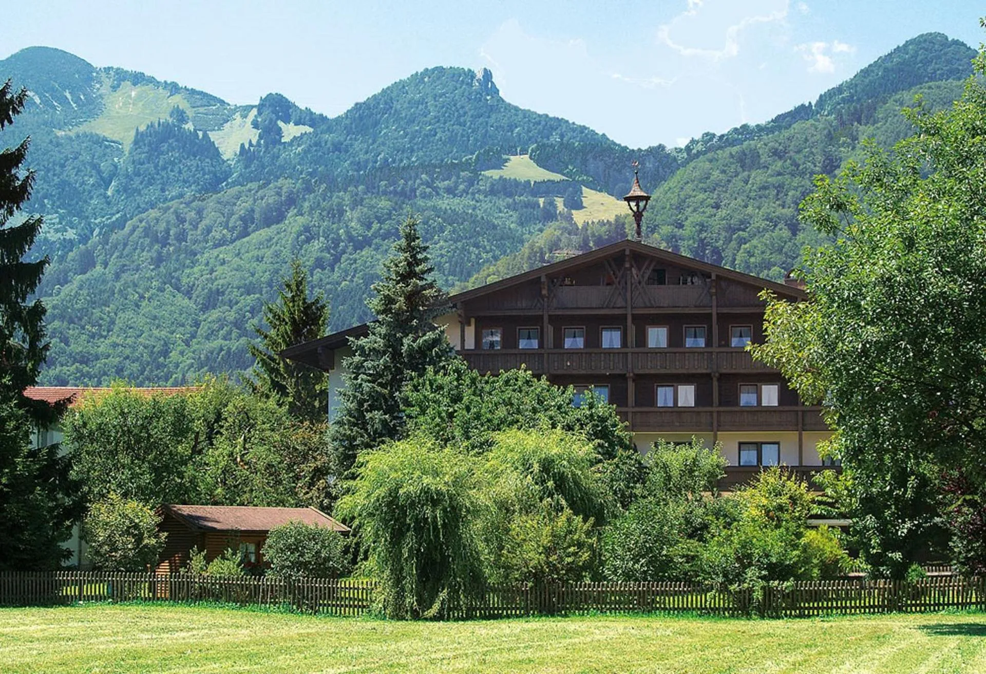
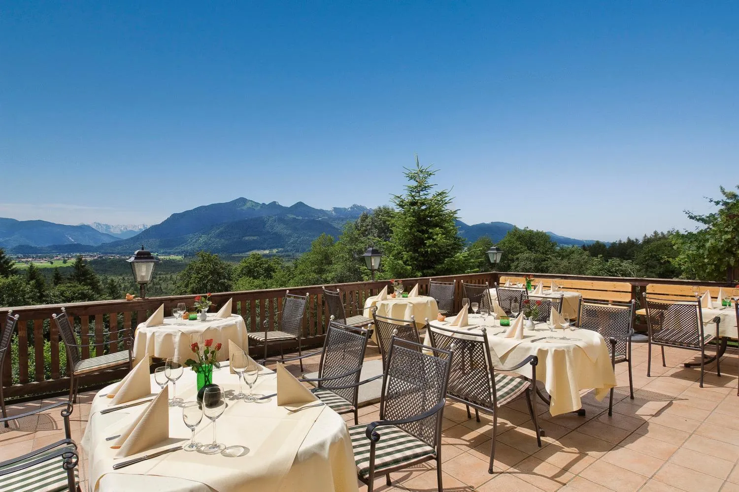
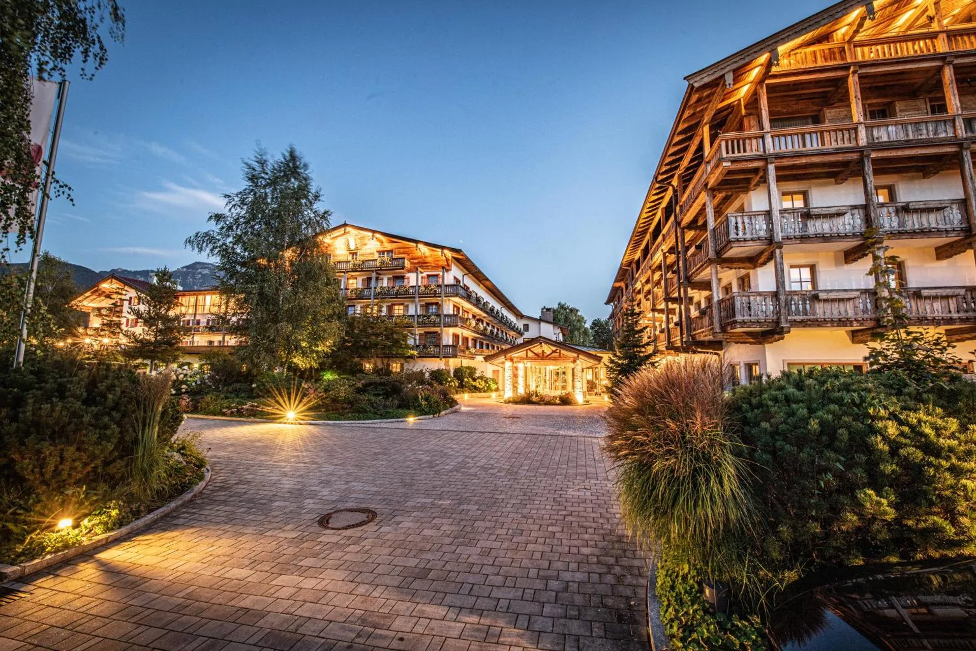
Das Achental Resort


The Das Achental Resort Has Not Been Certified As Dog Friendly
Nearby Dog Friendly Trails
Promising circular hike in the Upper Bavarian Chiemgau near Grassau. From the Hinterm Bichl car park, it goes first to the "Zeppelinhöhe" lookout point before the route leads to the serviced Rachlalm. From here it's just 1 kilometer to the Hefter-Alm, where you can also stop for refreshments.
Activities
Features
Panoramic hike in the Chiemgau Alps, Bavaria. A picturesque mountain hike that leads up to a rather unknown but very panoramic summit. Idyllic pastures and dense mountain forests alternate. The ascent to the Friedenrath is very strenuous, but definitely worth it due to the fantastic views from 1432 m above sea level high peak. Highlights of the hike: - Views of the Chiemsee - Summit of the Friedenrath - Hefter Alm - View of Kleinstaffen and Großstaffen
Activities
Features
Family-friendly hike near Grassau in the Bavarian Chiemgau. The entertaining hike leads from the Strehtrumpf car park first on a gravel path, then through shady mountain forest to the Hefteralm. This is managed from the beginning of May to mid-October and numerous alpine animals linger here in summer.
Activities
Features
Picturesque hike in the Bavarian Chiemgau near Marquartstein. From the "Hochgern" hiking car park, you go through the idyllic forest to the Schnappenkirche, which is located at an altitude of 1100 meters on the Schnappenberg. Here you can explore the white tufa building from the outside and inside and of course enjoy the fantastic view of the Chiemgau and Chiemsee.
Activities
Features
Panoramic hiking trail in Marquartstein, Bavaria. The Chiemgau Alps are a limestone massif between the largest lake in Bavaria (the Chiemsee) in the north and the Austrian border in the south. The starting point for the hikes is a hundred meters above the valley of the Tiroler Ache. Shortly after the start at the parking lot (645 m), a narrow, stony path leads up to the Schnappenkirche (1099 m). Then it first goes downhill to 1180 m and then slightly downhill to the Staudacher Alm. The path...