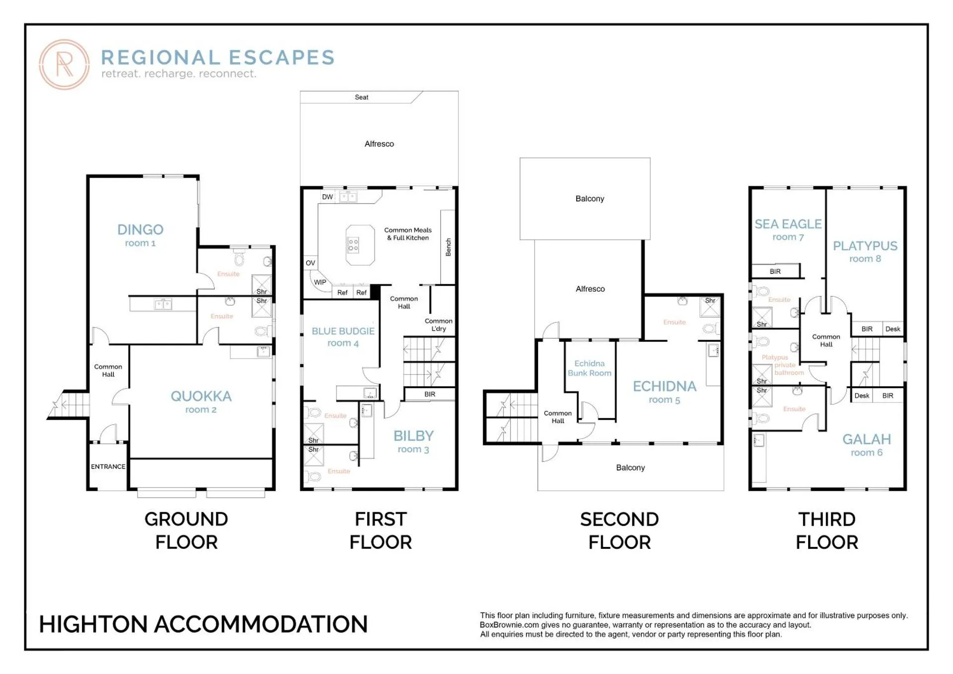
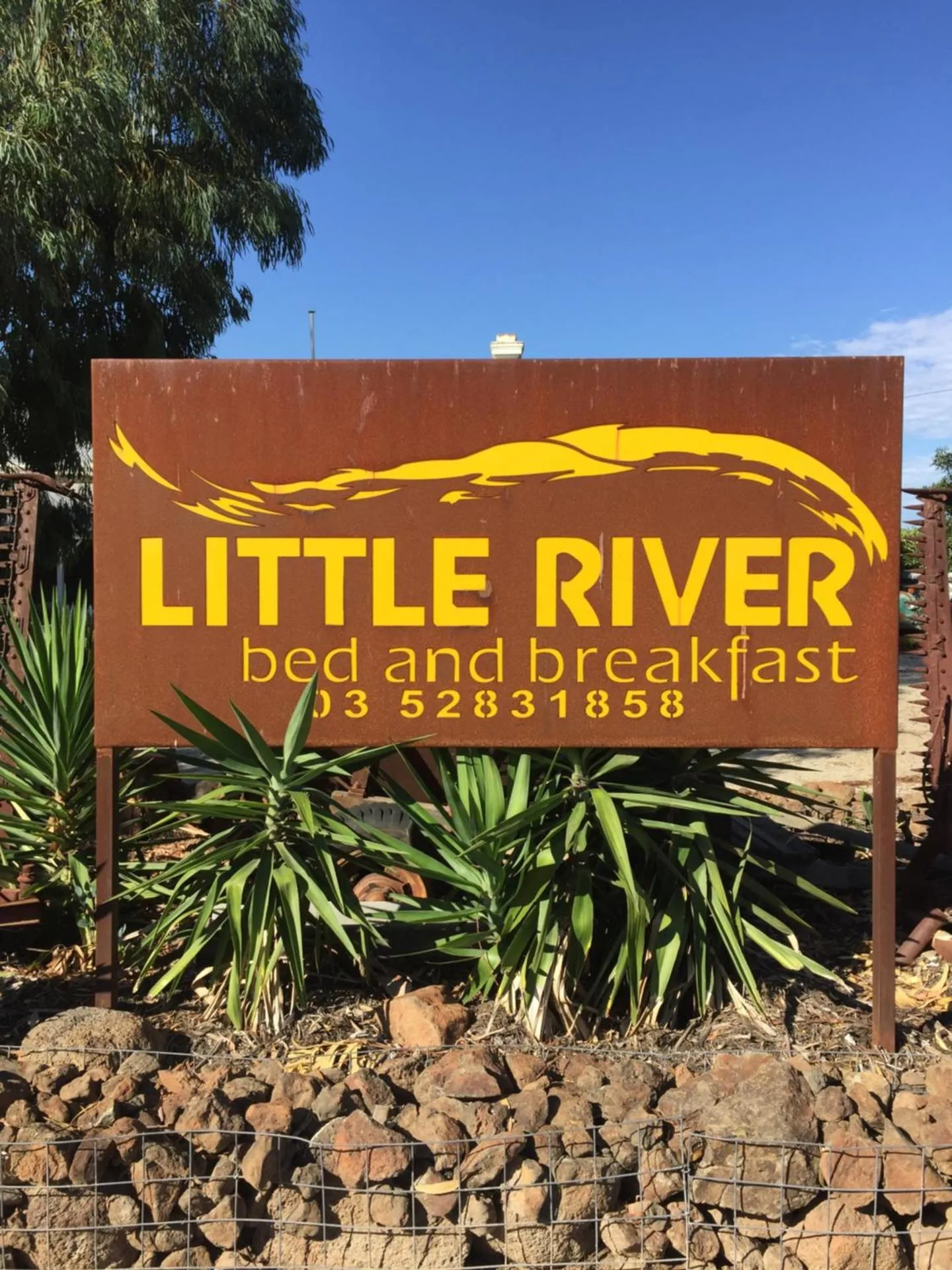
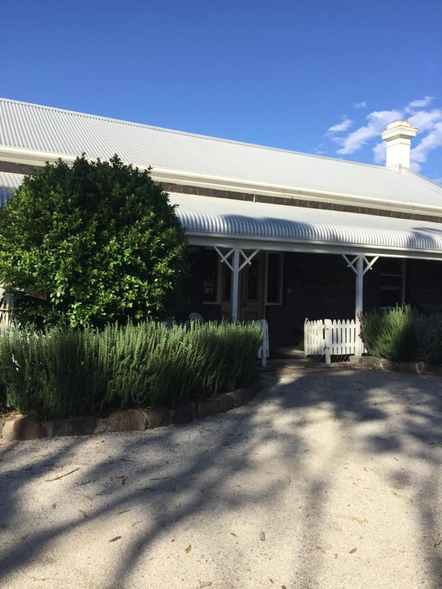
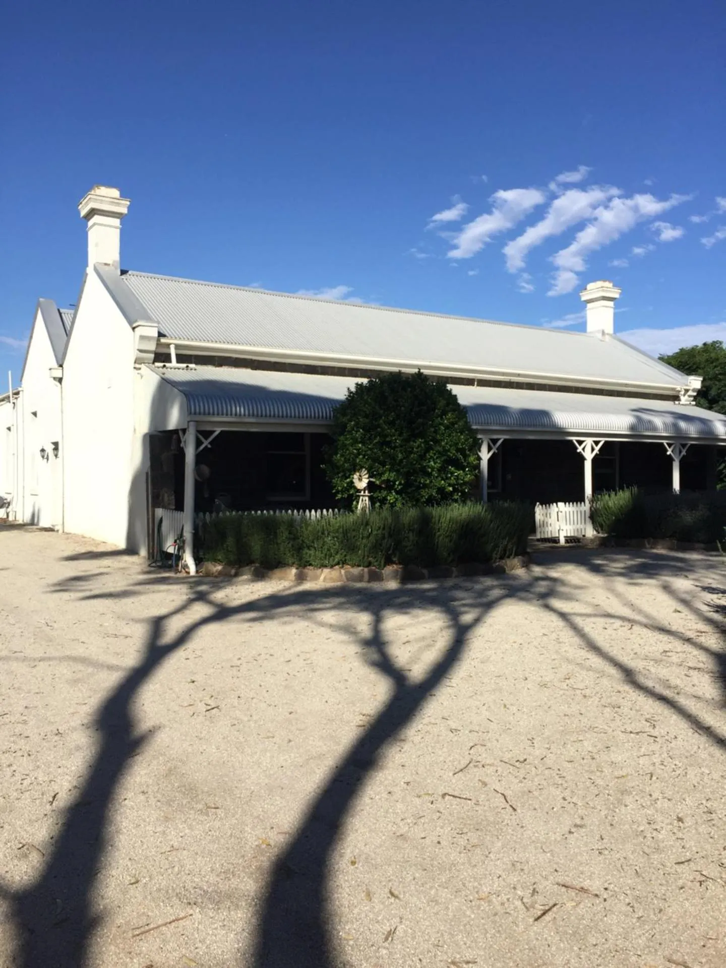
Little River Bed and Breakfast
The Little River Bed and Breakfast Has Not Been Certified As Dog Friendly
Nearby Dog Friendly Trails
This is a pleasant walk around Flinders Peak in the You Yangs Regional Park, south west of Melbourne, Victoria. It starts from Toynes Road, which is not the usual entry point. The views are spectacular as you go around the West Walk and the East Walk. The difficulty would be medium with a number of undulations in the track to be traversed.
Activities
Features
This is a picturesque trail through the You Yangs Regional Park in southern Victoria, located not too far north of Geelong. This looped route begins and ends from the intersection of Toynes Road and Great Circle Drive, where parking is available. This trail is particularly beautiful to do at dusk, or in Spring when all the wildflowers are out.
Activities
Features
This is a fantastic trail through the You Yangs Regional Park, located about 22 kilometres north of Geelong, Victoria. This route begins from the main parking area off Turntable Drive, where picnic and bathroom facilities are located. The trail itself is not very well signposted and there are numerous intersecting trails in the area. A good idea to download and keep an eye on the map for this one to help stay on track. Some stunning views along the way and lots of wildlife and birdlife...
Activities
Features
This is a scenic trail through the You Yangs Regional Park, located about 60 kilometres south west from the centre of Melbourne, Victoria. This looped route begins from the parking and picnic area on Turntable Drive - not too far north from the town of Lara and the famous Great Ocean Road. The trail features a fairly steep climb up Saddleback Track and then relatively flat, gradual descent along west track back to where you started.
Activities
Features
An enjoyable trail exploring the You Yangs Regional Park, located not too far north out of Geelong, Victoria. The trail is used for both hiking and mountain biking so keep at eye out for bikes if you're on foot. It's a relatively easy hike but best suited for more experienced mountain bikers. There are several forks along the way where it may be useful to have the map downloaded to ensure you're on the right path.