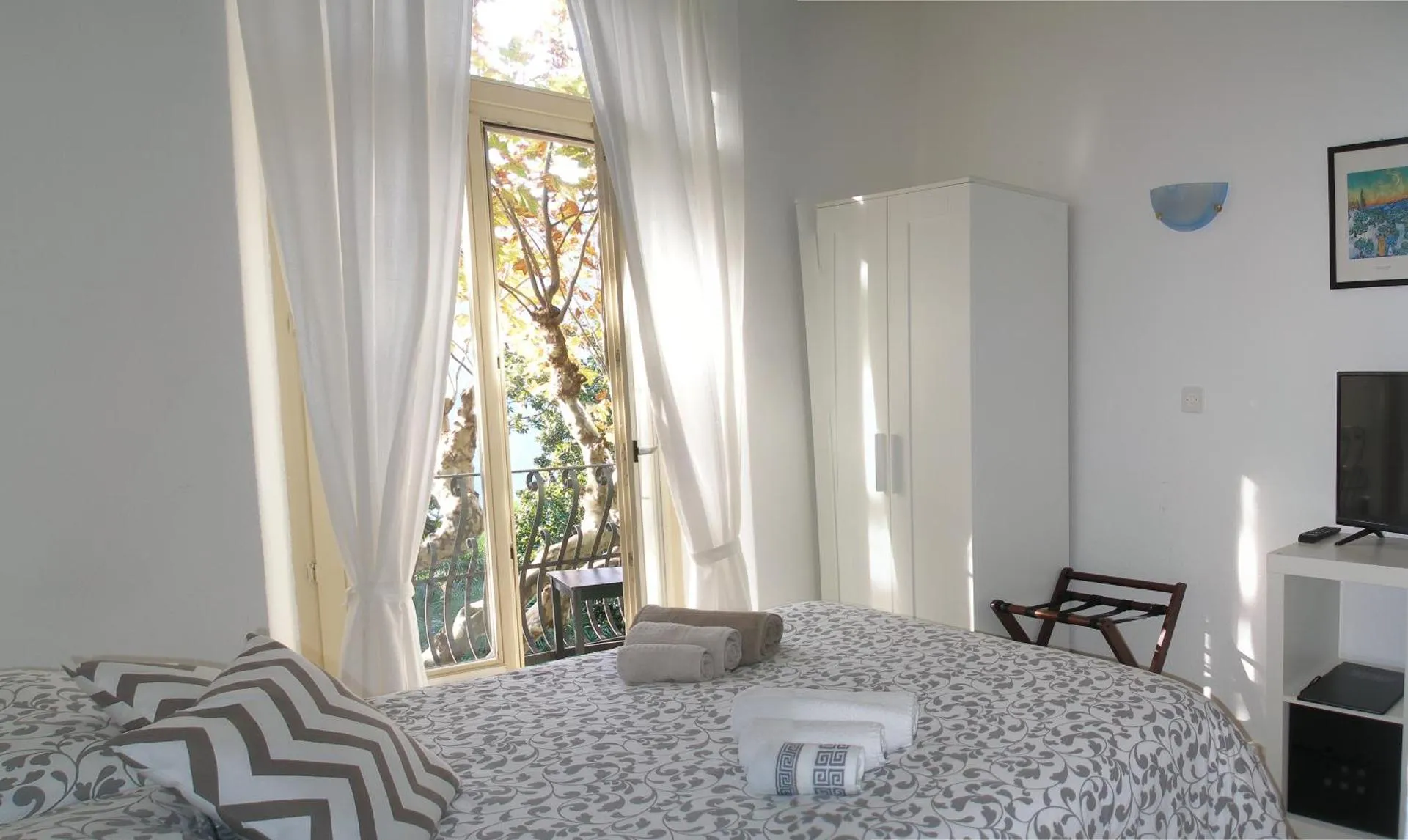
Hotel Colibrì
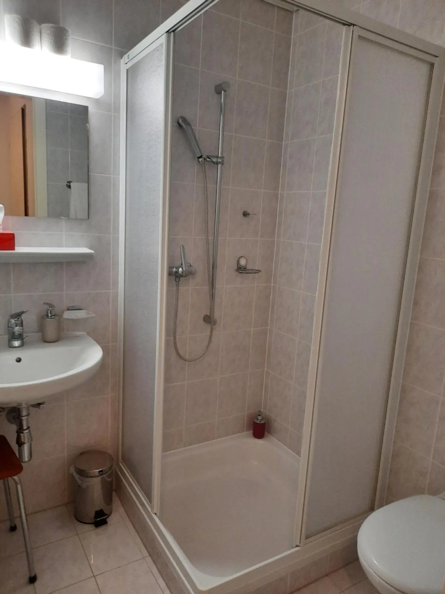
The Hotel Colibrì Has Not Been Certified As Dog Friendly
Nearby Dog Friendly Trails
The trail starts at the mountain station of the Monte Bre cable car which is already at 925m with a wonderful view. Then follow the Scalinata alla Torretta path and then steadily descend following the Sentiero Piede Vigano to Gandria. There, on the shore of Lake Lugano, follow the Sentiero di Gandria path right at the shore all the way to Cassarate. Since there are fees or opening hours to consider, it is good to check the website: https://www.montebre.ch/en/fares-timetables/
Activities
Features
The trail begins at the mountain station of the Monte Bre funicular and follows the Sentiero al Pizzo path out into the countryside. Then the path leads through the small settlement Brè and then it goes through the forest and further up to the Alpe della Bolla. Then the path goes up to the top of Monte Roveraccio at 904m. Shortly afterwards it continues hiking over the top of the Mataron at 1410m and then reaches the hut del Pairolo at 1347m. One can stay there overnight and descend again the...
Activities
Features
This is a simple walk from Brè to Monte Brè (925m). The climb takes place on the Scalinata alla Torretta. At the top there is also an Osteria where to eat. From here you can return to the starting point by walking on the paved road via Baré as indicated in the map, or take the Monte Brè funicular to visit Cassarate on Lake Lugano.
Activities
Features
Monte Brè is a mountain located east of Lugano on the flank of Monte Boglia, which belongs to the Prealps of Como in the greater part of the Prealps of Lugano. It is a popular panoramic mountain with a view of the bay of Lugano and the Valais and Bernese Alps and is considered the local mountain of Lugano. This route starts in Brè and goes through Sasso Rosso (1294 m), Monte Boglia (1516 m), and Passo Biscagno (1173 m) to Alpe Bolla (1129 m). It then descends through the forest to return to...
Activities
Features
Monte Boglia is a mountain between Switzerland and Italy, whose crest runs the border between the Canton of Ticino and the Italian province of Como. A dense forest broadly covers the mountain, with the highest point at 1516 m. From the summit, hikers have breathtaking views of Lake Lugano. This trail can be muddy after a few days of bad weather.