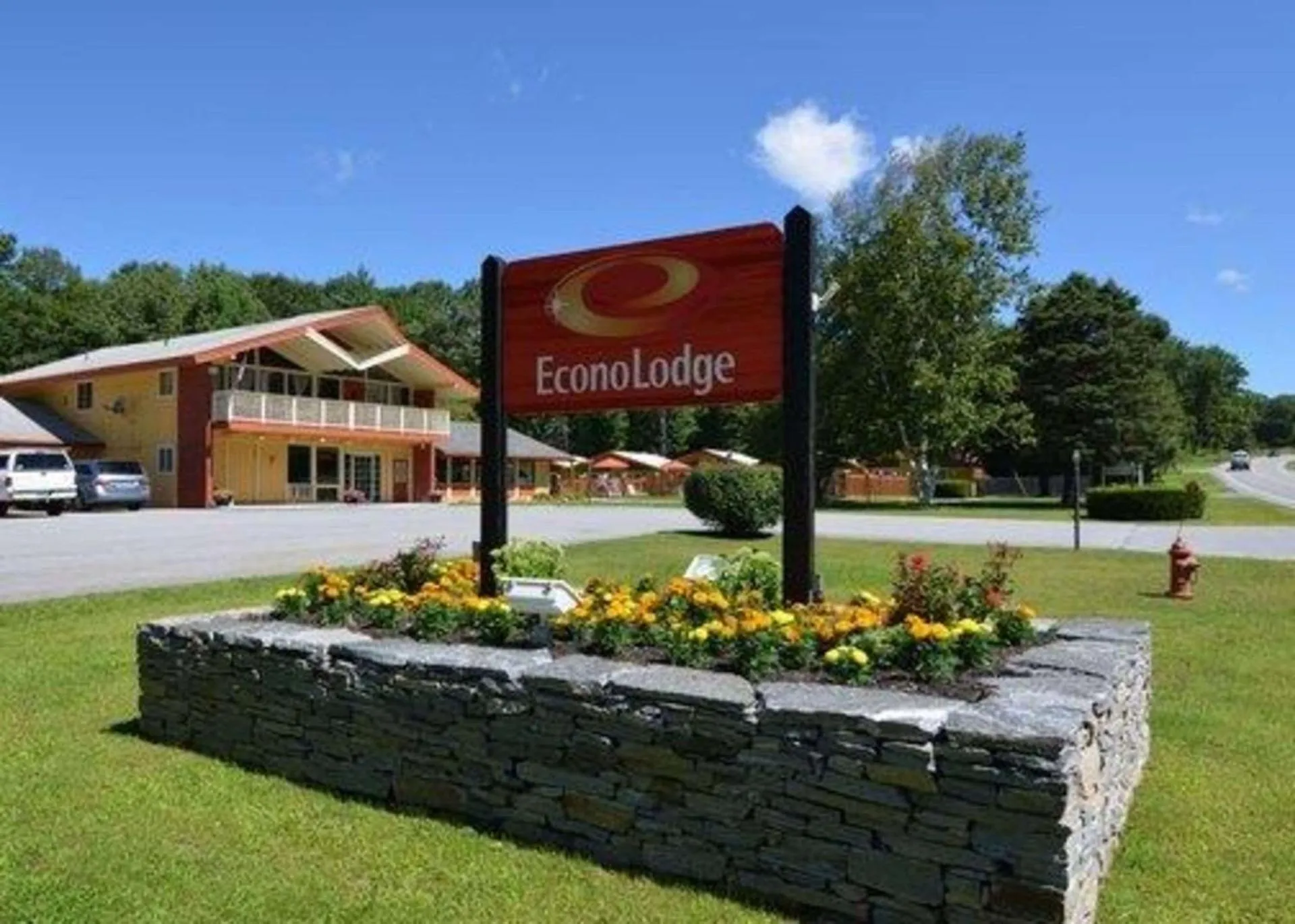
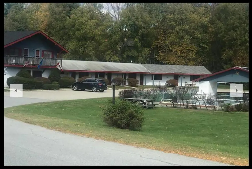
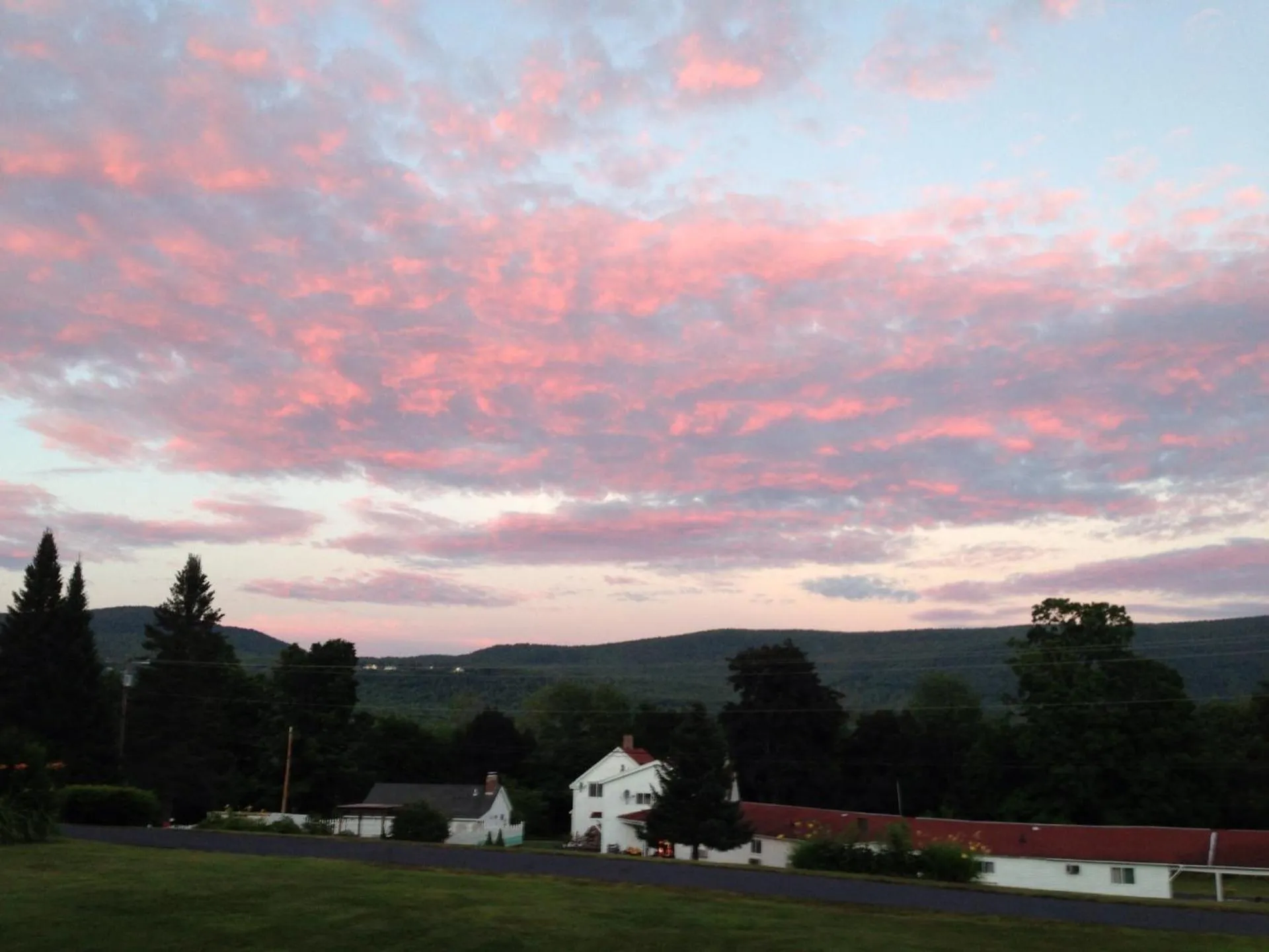
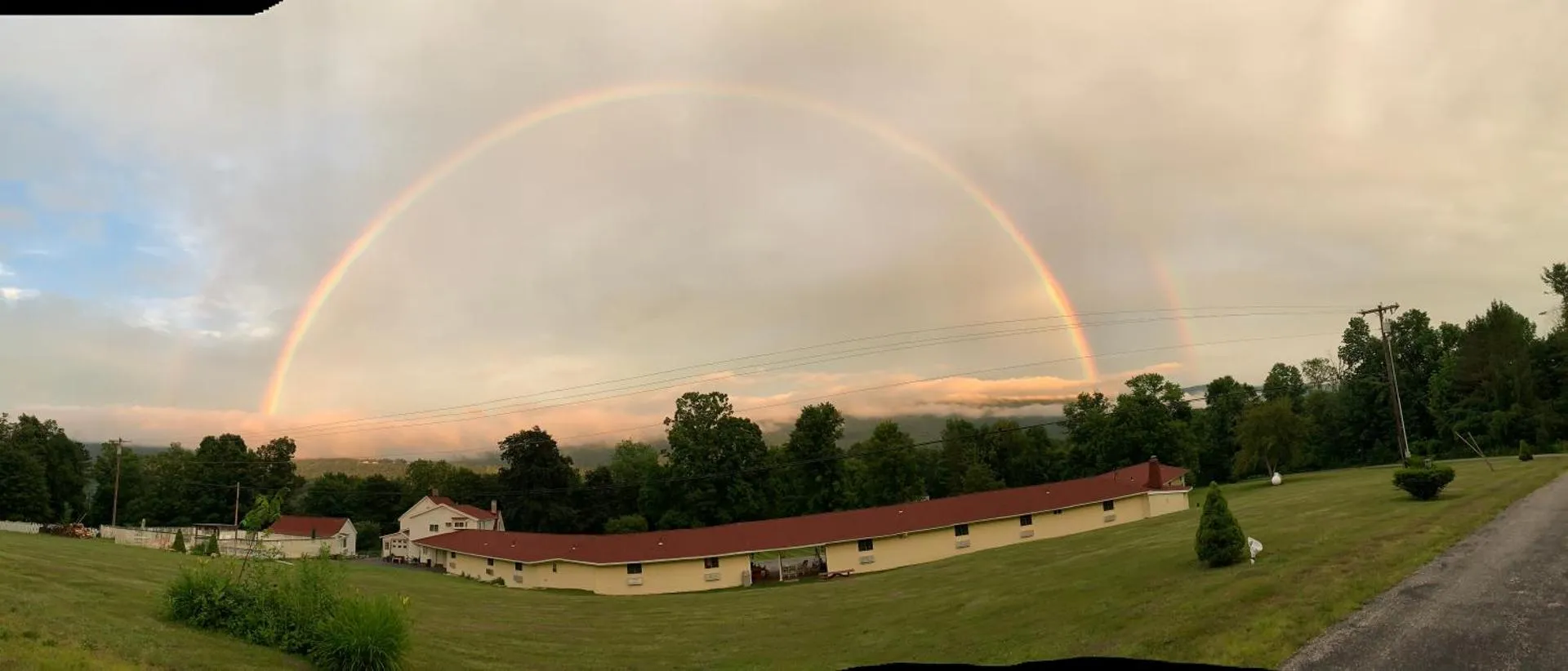
Four Winds Country Motel


The Four Winds Country Motel Has Not Been Certified As Dog Friendly
Nearby Dog Friendly Trails
This is an excellent long day hike or overnight backpacking trip, checking off some of the most popular spots in southern Vermont. Along the way, you will pass Prospect Rock, Bourne Pond, Stratton Pond, and cross several streams flowing through the forest. Designated camping sites maintained by the Green Mountain Club are available at Bourne Pond and Stratton Pond.
Activities
Features
Prospect Rock is a wonderful viewpoints looking out over the community of Manchester Center and the surrounding Green Mountains. The trail follows the track of Old Rootville Road to the junction with the Appalachian/Long Trail. A short spur leads to the overlook. While the hike is uphill on the way towards the overlook, the road is nice and wide.
Activities
Features
The Equinox Highlands, namely Mount Equinox (3,816 feet) and Mother Myrick Mountain (3,361 feet), are part of the northernmost sweep of the Taconic Mountains, and are considered one of the most important natural areas in the state. The largest rich northern hardwood forest in New England—over 2,000 acres—is located on Mount Equinox, and there is a smaller stand of this natural community type on Mother Myrick Mountain. The deep humus soil that slowly slips down steep slopes into coves and...
Activities
Features
Begin from a large lot along Vermont Route 11. Use caution when crossing the road to begin heading south on the Long Trail/Appalachian Trail. From the summit of Spruce Peak, there is a nice overlook with views looking out towards the Manchester area and the mountains on the other side of the valley.
Activities
Features
There is a large parking lot alongside VT Route 11 to access the Long Trail. The trail heads up the side of Bromley Mountain crossing over Bromley Brook. Just shy of 2 miles from the trailhead there is a spur trail that leads down to the Bromley Shelter. This is a good place to have lunch or spend the night if you're backpacking in the area. The trail continues uphill eventually hiking up a ski run to the summit.