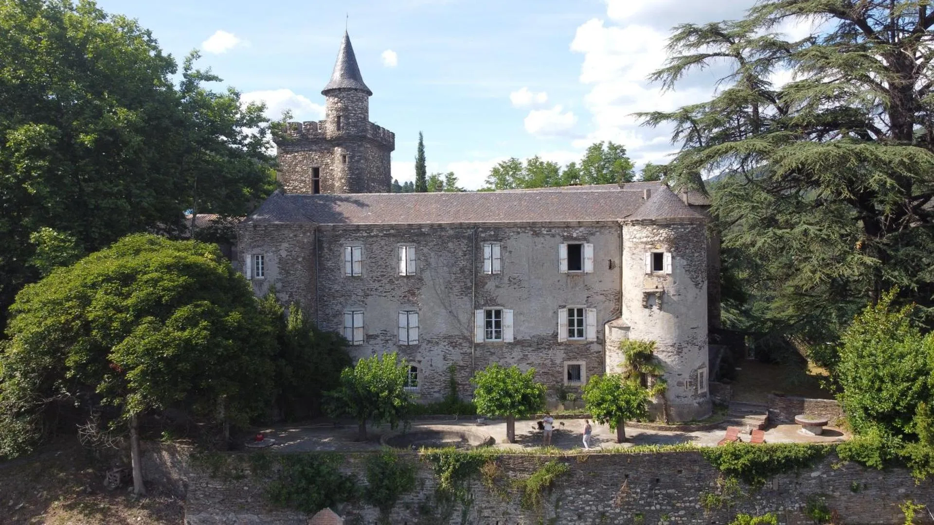
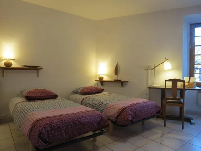
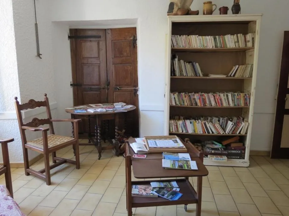
Au Figuier des Cévennes
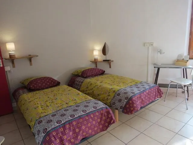


The Au Figuier des Cévennes Has Not Been Certified As Dog Friendly
Nearby Dog Friendly Trails
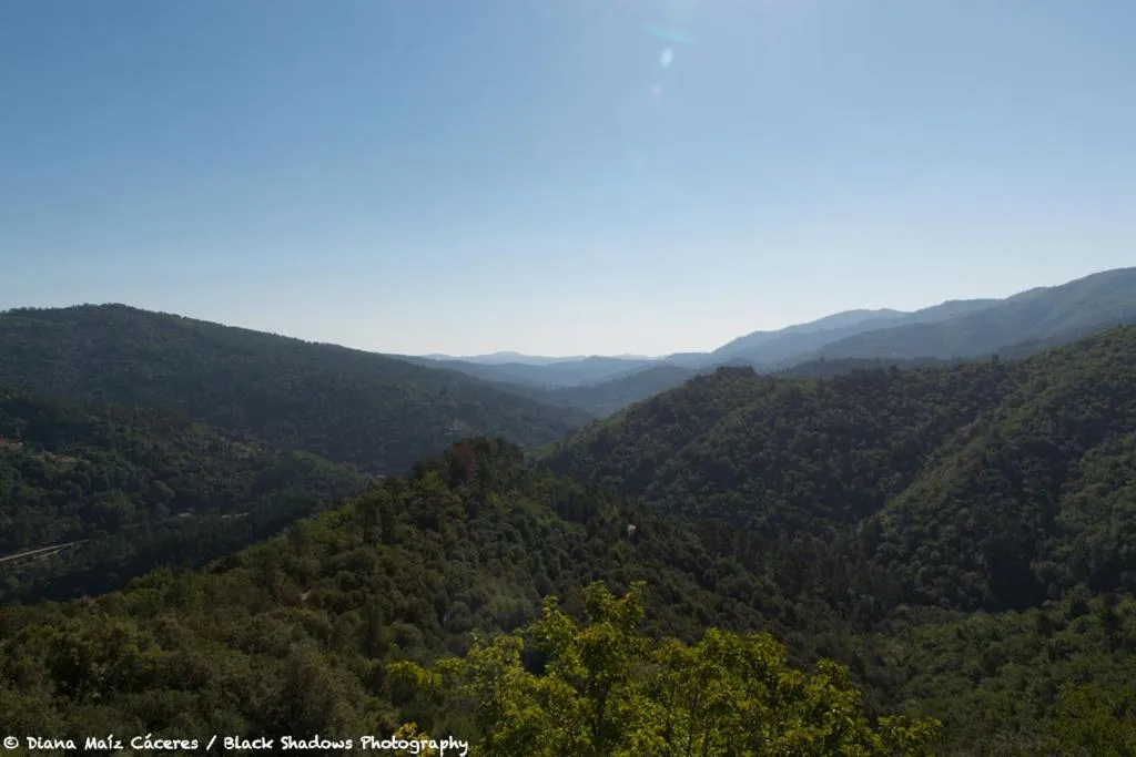
This hike between Saint-Germain-de-Calberte and Saint-Jean-du-Gard in Piedmont Cévénol, in the Cévennes National Park, is a deviation from the GR®70 path. The route passes by the Saint-Pierre signal at 695 meters above sea level, offering a beautiful view of the Gard plain. The GR®70, Grande Randonnée, also known as the Chemin de Stevenson, was inspired by the route taken by the author Robert Louis Stevenson and his donkey, Modestine, in 1878. In total, there are approximately 272 km to...
Activities
Features
This thirteenth stage of the GR®70 is part of the Cévennes portions of the Stevenson path. In the heart of the Cévennes National Park, discover the landscapes so characteristic of the region that make it so charming. The start is located in Saint-Germain-Calberte and joins Saint-Jean-du-gard in Piedmont Cévénol via the Signal Saint-Pierre.
Activities
Features
The GR®670 or Chemin Urbain V is a long hike that connects Nasbinal in the Aubrac Regional Natural Park to Avignon via the Aubrac trails, the Lot valley, the Causses, the Cévennes and garrigues to reach the Rhône and the papal city via the Gardon valley. This stage connects Saint-Germain-de-Calberte to Saint-Jean-du-Gard in Piedmont Cévénol in the Cévennes National Park via Saint-Étienne-Vallée-Française and the Col de Saint-Pierre. The path mainly in the forest follows part of the Gardon...
Activities
Features
This roaming hike, section of the Chemin de Stevenson or GR® 70, is located in the Cévennes National Park and begins in Saint-Germain-de-Calberte. The route goes through Saint-Etienne-Vallée-Française, the Col Saint-Pierre (597 m) and ends at Saint-Jean-du-Gard in the Piedmont Cévénol region. The GR® 70, Grande Randonnée, also known as the Chemin de Stevenson, was inspired by the route taken by the author Robert Louis Stevenson and his donkey, Modestine, in 1878. In total, there are...
Activities
Features
This 5 km loop in the Massif des Vallées Cévénoles can be covered in continuous walking in about 2h30. It follows a forest path through the national forest of Font Mort, where softwoods are abundant. In its second part, it returns by taking the rocky ridge which separates two valleys typical of the Cévennes landscape. From its highest point, the path offers a complete and magnificent panorama of the schistous Cévennes. To the north, you can see Mount Lozère, while to the south rise the...